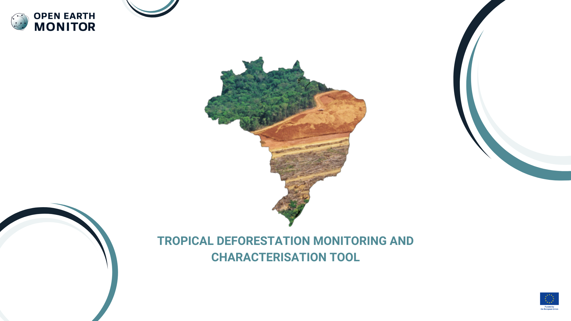
Tropical deforestation monitoring and characterisation tool
From 2002 to 2023, Brazil lost 30.7 Mha of primary rainforest, a 9% decrease in forest area. This use case will create a 10 m radar-based tool to monitor and characterize deforestation and its drivers in tropical forests to be tested in Brazil. We will primarily use Sentinel-1 data and future SAR missions associated with real-time drivers mapped by Sentinel-2 and Planet optical data to enable the separation of natural and human disturbances.
Deforestation is currently a global problem and a scourge for sustainable development and the health of the planet. We usually know that deforestation is occurring, but we don’t understand why. More and timely information is needed to take mitigation action. Currently, data is lacking in some regions of the world and, where it exists, it may be difficult to access or reuse due to weak connections between national data systems or poor collaboration with global initiatives. Another problem is the privacy of some of this data. This use case aims to improve the monitoring of deforestation and, at the same time, to better understand what are the drivers of deforestation.
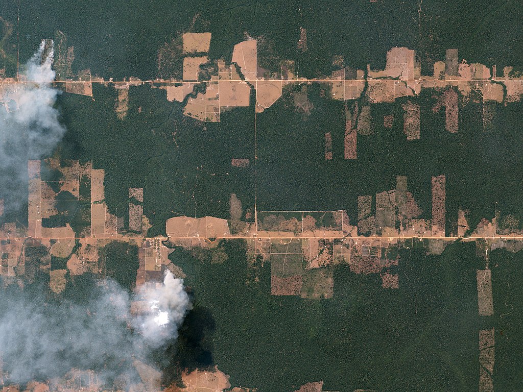
Fishbone Deforestation Rondônia, Brazil August 5, 2016. Author: Planet Labs, INC (CC BY-SA 4.0)
Our solution
This use case provides yearly time series data and an app showing land use that follows after deforestation across Africa at 5 m resolution covering the year 2001 to 2020 (20 years). The app supports customized filtering and data visualization, enabling users to assess in detail (spatial and temporal) causes of deforestation and link them to specific human activities, i.e Forest converted for commodity crops such as cocoa, coffee, rubber, oil palm. The app also allows users to select a country and derive statistics of the contribution of each of the commodity crops to deforestation.
On one hand, the Tropical Deforestation Monitoring and Characterisation Tool is expected to assist national governments in monitoring and reporting on the effects of the deforestation mitigation measures they are implementing in relation to the laws in force.
This tool will also help companies to comply with new regulations, such as the EU Deforestation Free Regulation (EUDR) affecting the supply chain for the importation of commodity crops into Europe. Similar regulations are at place in the United Kingdom and the United States.
Environmental organizations working on nature conservation could also benefit from a better assessment of the drivers of deforestation that will allow them to prioritize their efforts, resources and action.
This tool can also be of great relevance to the entire scientific research community that is conducting studies on the causes and effects of small and large-scale deforestation. The availability of open and reusable data greatly enhances scientific collaboration in the pursuit of results.