Land Degradation Neutrality tool
Biodiversity monitoring and reporting tools for IDH
Soil carbon accounting system for world
mangroves
mangroves
Large-area estimation of forest carbon emissions
Planet health index
SIF-based high spatial resolution GPP
flux estimations
flux estimations
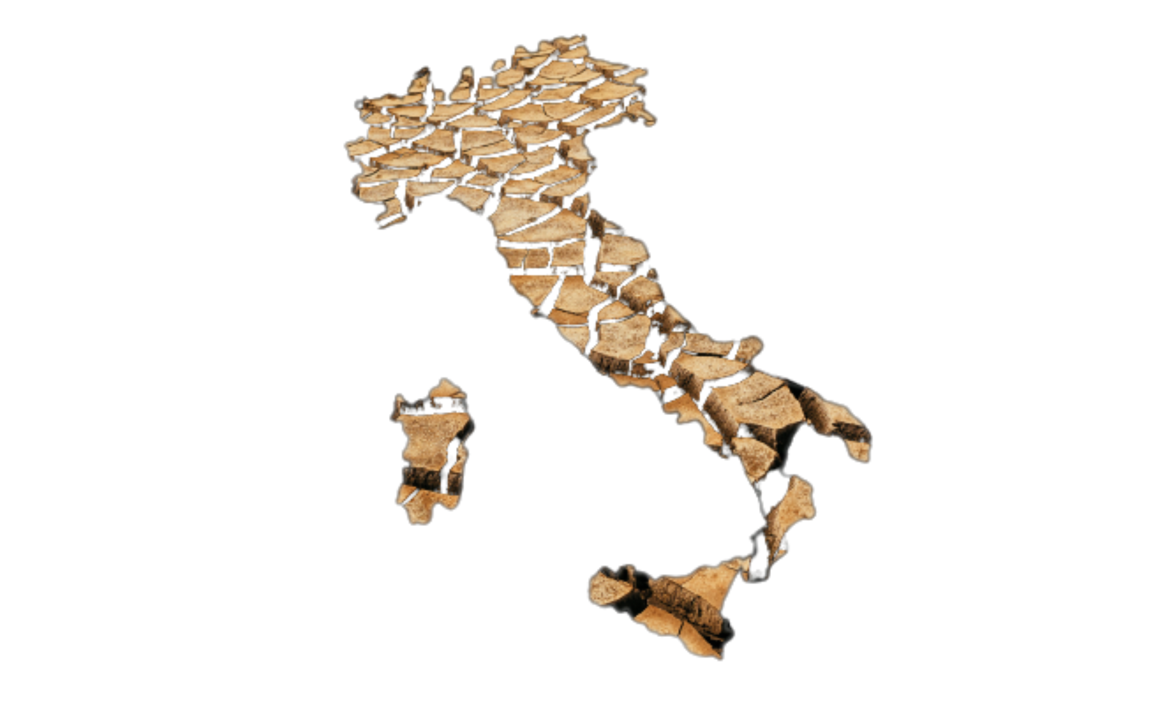
Global drought monitoring at high resolution
Meteo support for modeling of carbon
sequestration tool
sequestration tool
Global topographic and hydrological services based on open topographic data
World-reforestation monitor use case community conservation Campeche, Mexico
EO data and automated mapping for EU soil observatory
Crop yield monitoring system for Africa
EU-rapid forest disturbance monitoring tool
Tool to estimate local temperatures changes
following an increase in forest cover
EU Flood risk maps at high resolution
Meteo support tool for wildfire risk
Meteo-based agricultural insurance tool

Air quality assessment at continental scale
Air quality assessment at regional scale
EU reforestation tool
EU-biodiversity monitor use case forest restoration Elizabeth Forest Park, Scotland

Scale-dependency of "potential" marine biodiversity distribution patterns a national and European scales

Monitoring forest vegetation vigour evolution over phenological cycles
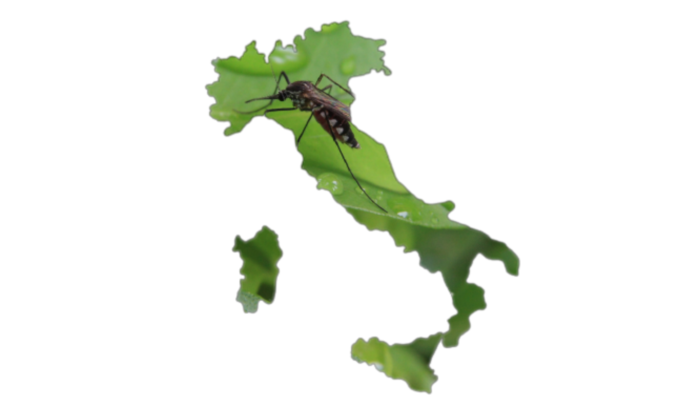
Mosquito alert system for Italy (zanzara tigre)
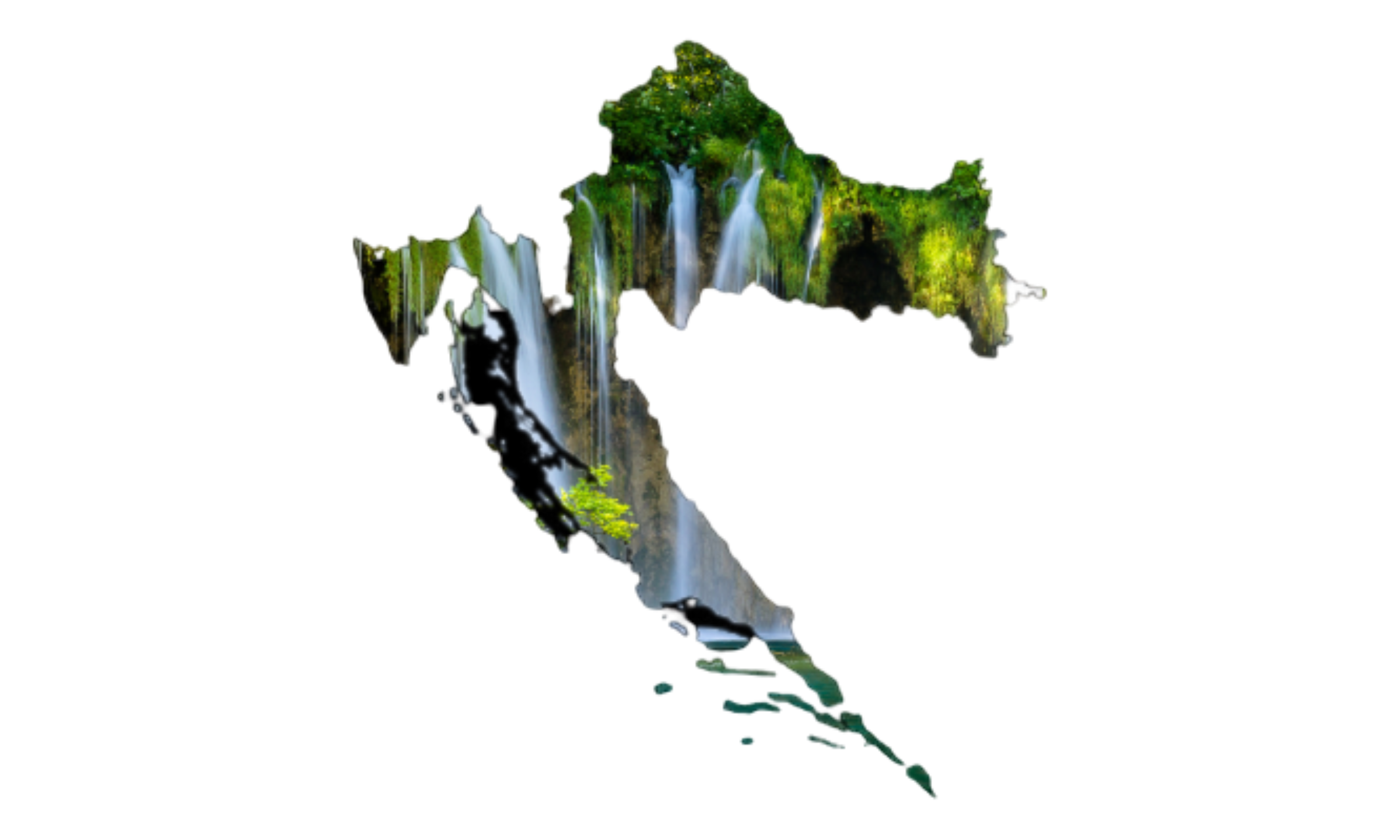
Forest management & tracking tool for Croatia
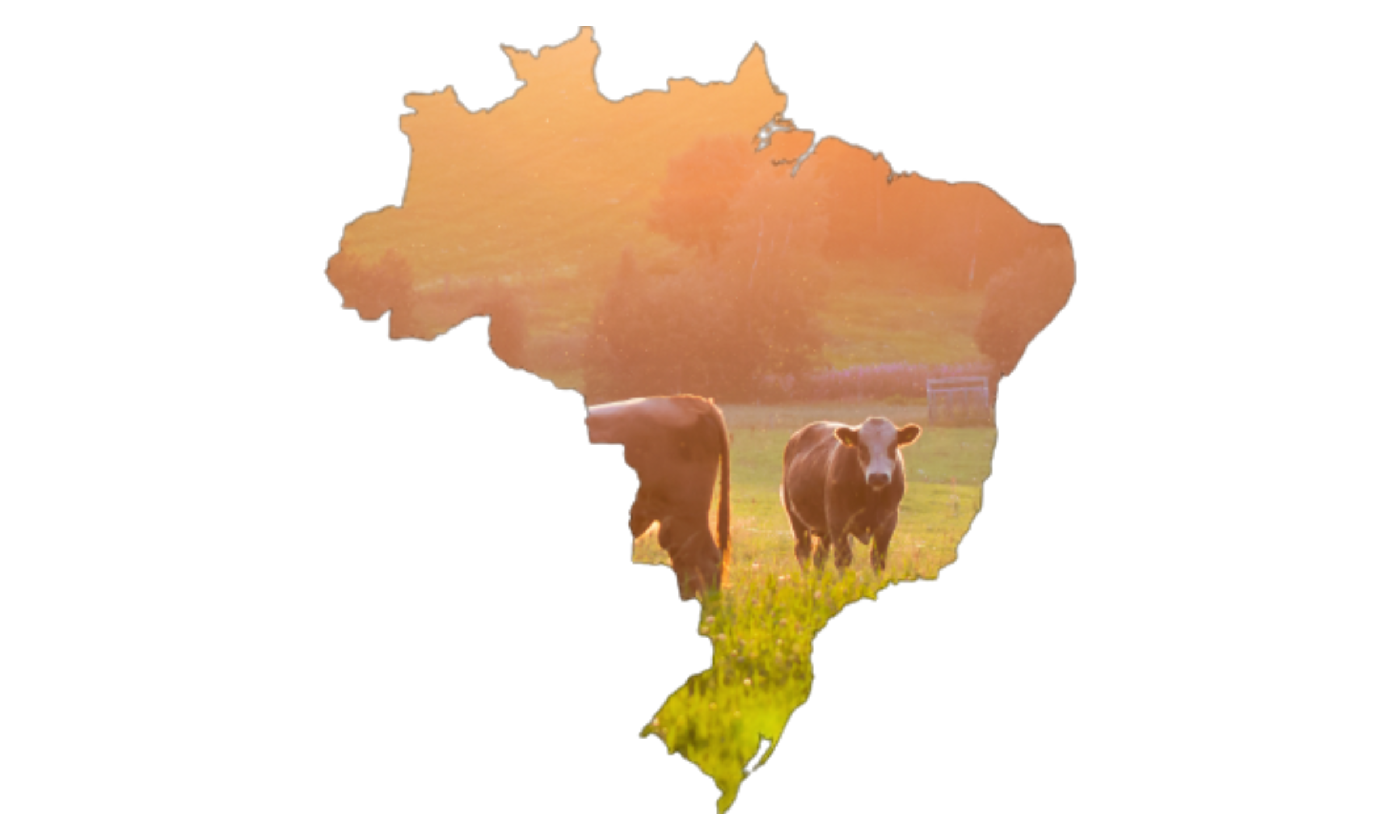
Global monitoring system for livestock and grasslands / pastures
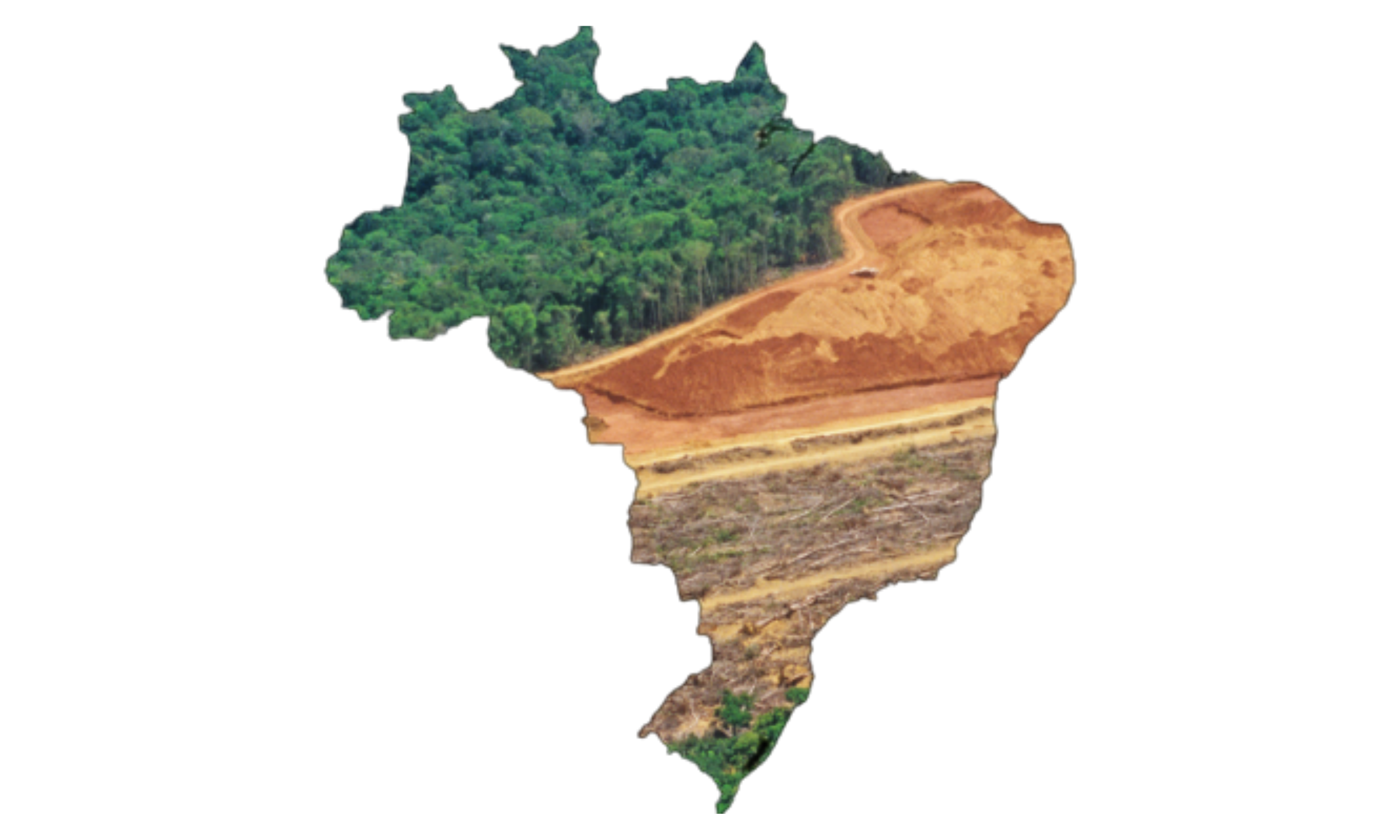
Tropical deforestation monitoring and
characterisation tool
characterisation tool
High resolution SWE in selected mountain regions
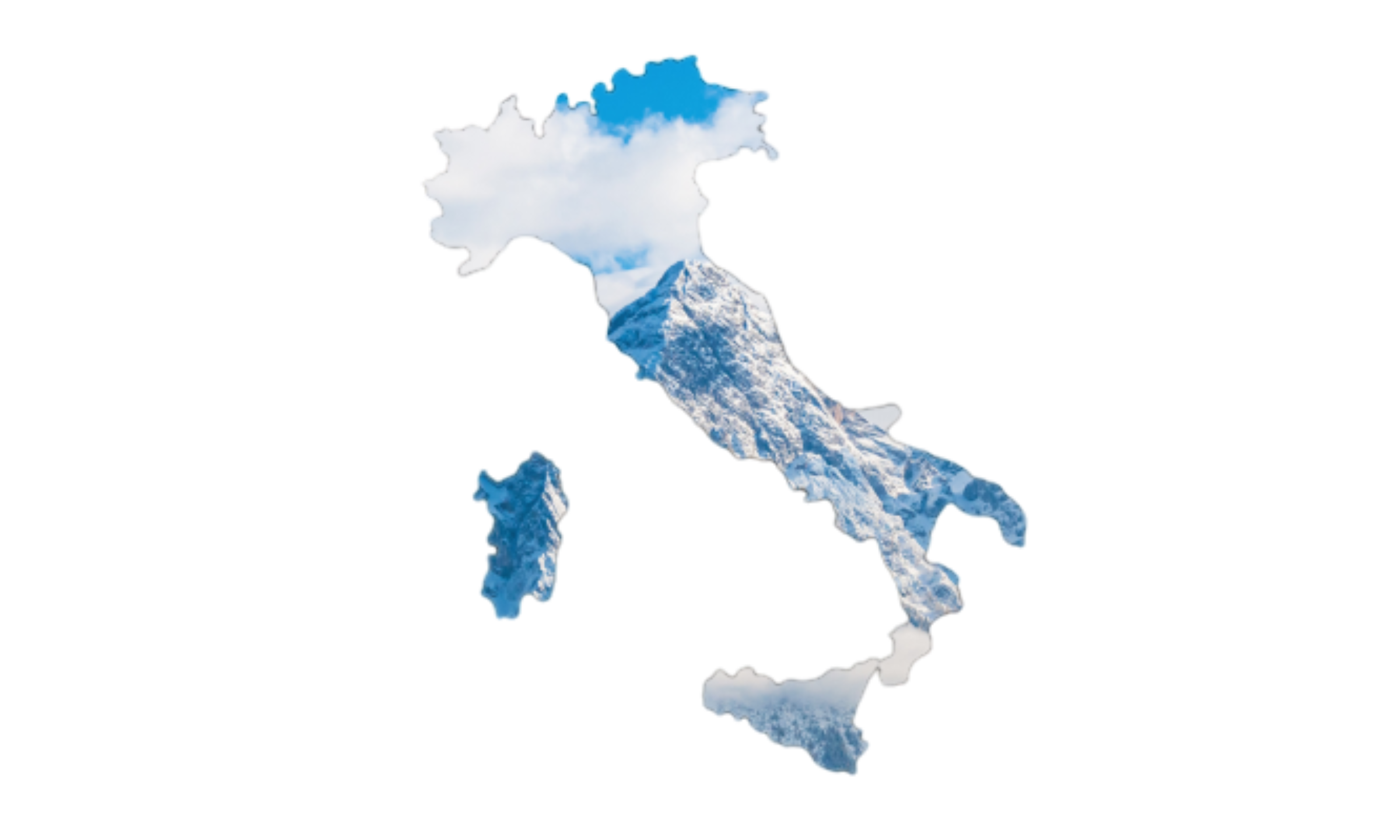
Drought Monitoring at high resolution
throughout Italy
throughout Italy
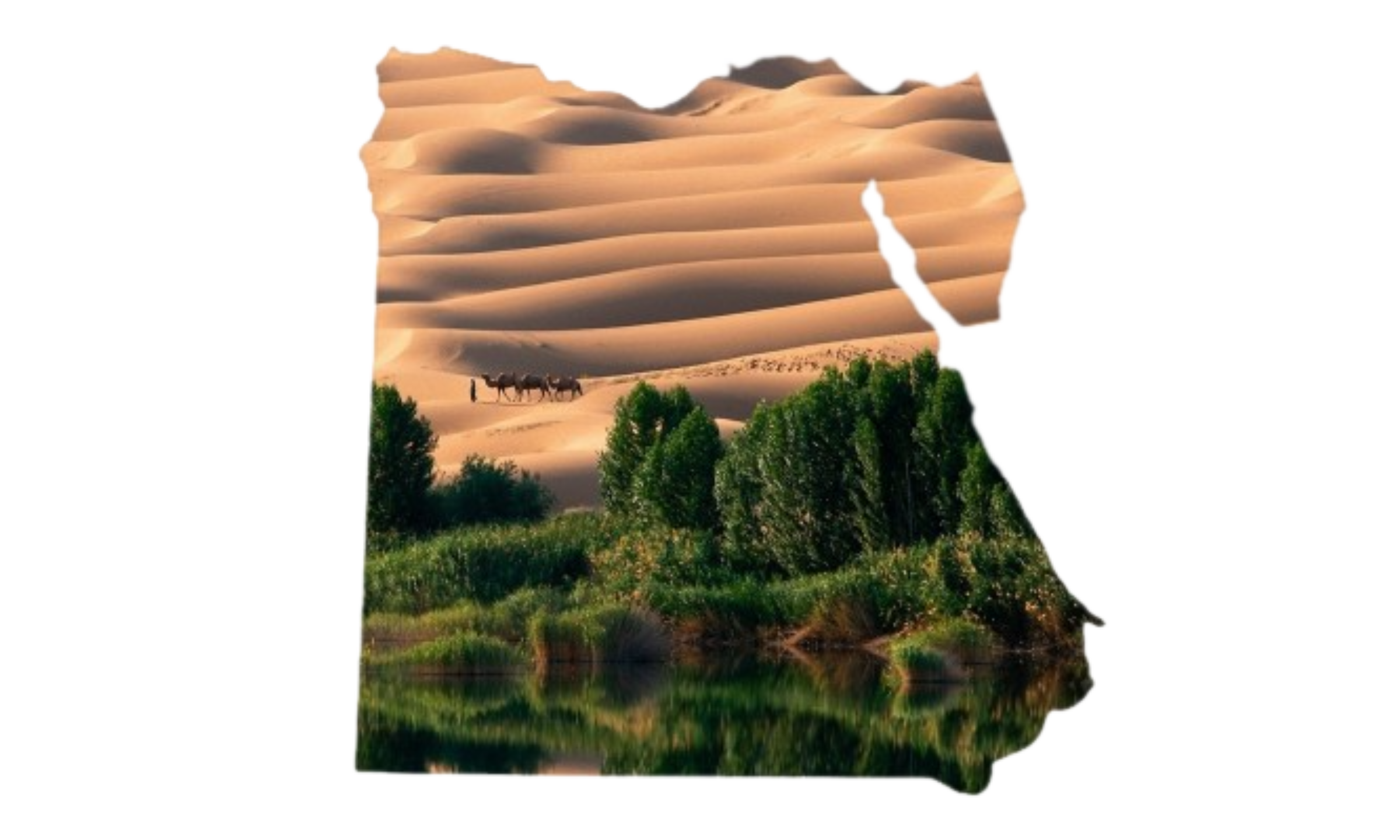
Data cube for spatial modeling for Sinai
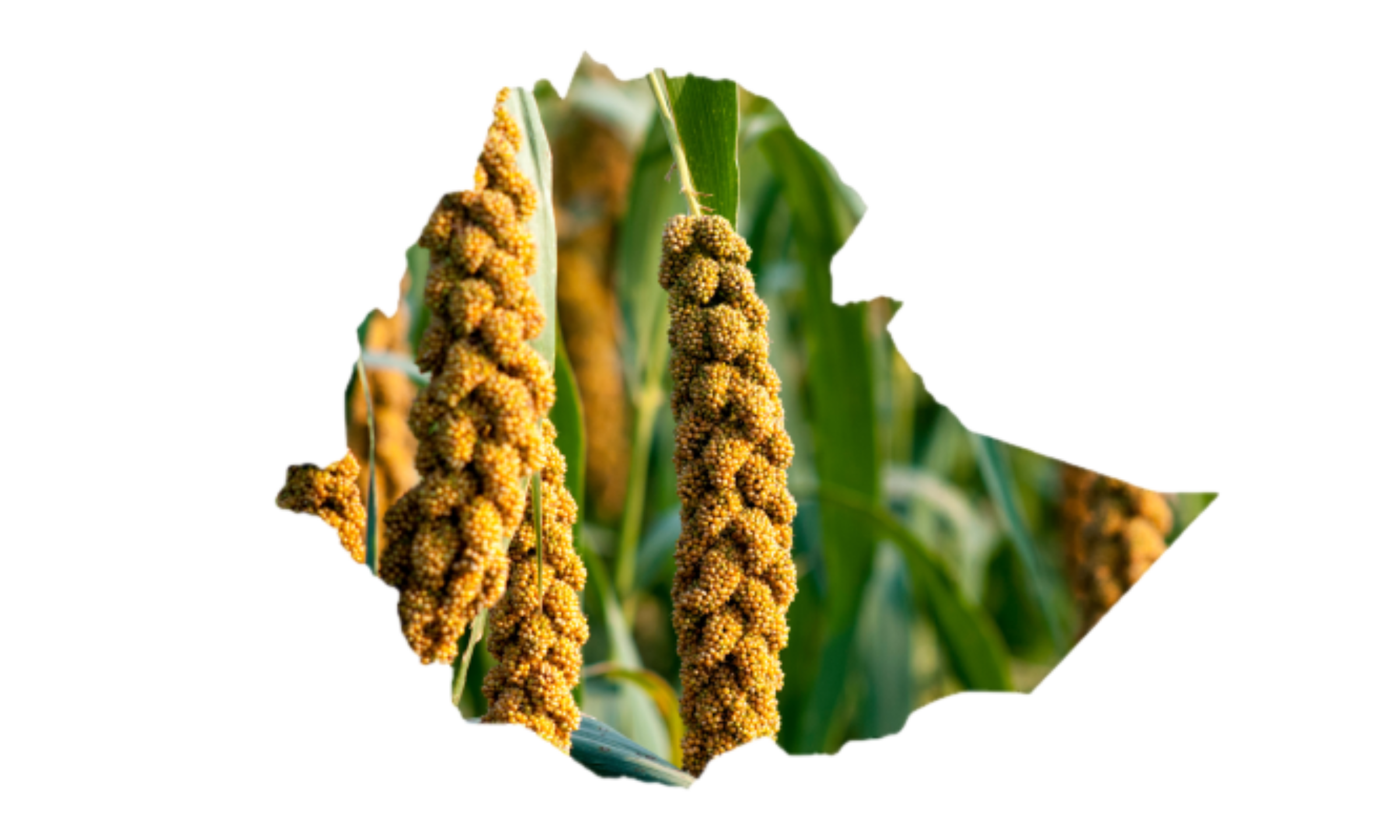
Tools for Digitalisation of Agriculture in
Ethiopia
Ethiopia

Tools and data for improved biomass estimation