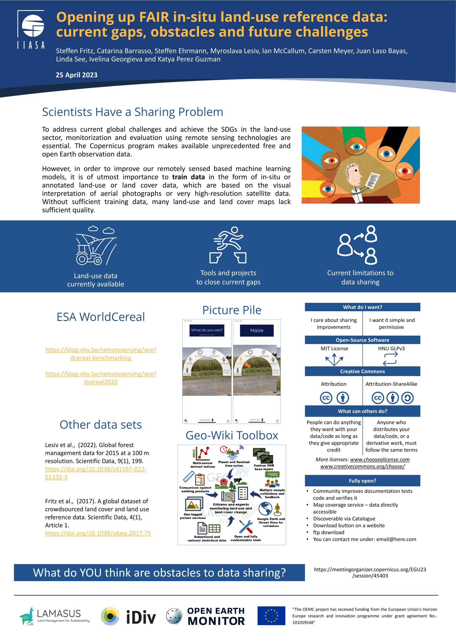

It is becoming increasingly obvious that in order to address current global challenges and achieve the SDGs in the land-use sector, monitoring and evaluation using remote sensing technologies are essential. In particular, with the Copernicus program of the European Union, unprecedented free and open Earth observation data are becoming available. However, in order to improve our remotely sensed based machine learning models, training data in the form of in-situ or annotated land-use or land cover data which are based on the visual interpretation of aerial photographs or very high resolution satellite data are of utmost importance. Without sufficient training data, many land-use and land cover maps lack sufficient quality.
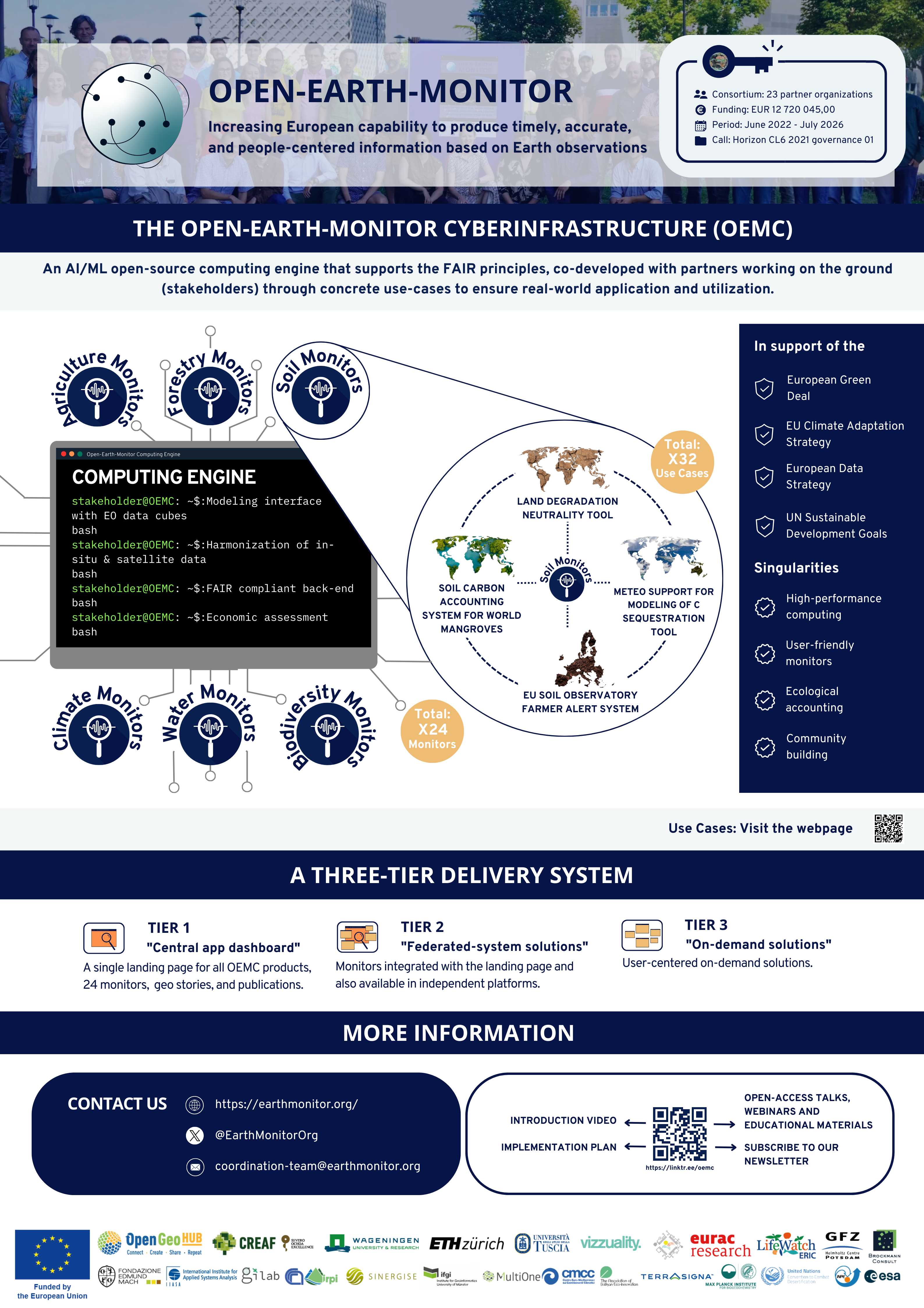
The presentation below provided an overview of existing and open in-situ data in the field of land-use science. It highlighted what land-use data are currently available including data collected though crowdsourcing and the Geo-Wiki toolbox. In particular, it provided insights into current gaps in land cover, land-use, livestock, forest as well as crop type information globally. It drew on existing global data products such as those from the Copernicus global land monitoring service, and more recently generated products such as WorldCover and WorldCereal. Furthermore, tools to close those data gaps were shown. The presentation furthermore explored current obstacles and limitations to data sharing and debunked current arguments that are often put forth for not sharing in-situ data. These arguments include limited resources, quality issues, competition, as well as time constraints, etc. Specific attention was given to the role of doners and funders in more clearly defining open and FAIR requirements for in-situ data. The presentation closed by making the audience aware of the LUCKINet consortium, which is trying to make more reference data openly accessible and to build a consistent global land-use change dataset as well as work done on in-situ data within the EU LAMASUS and OEMC project.