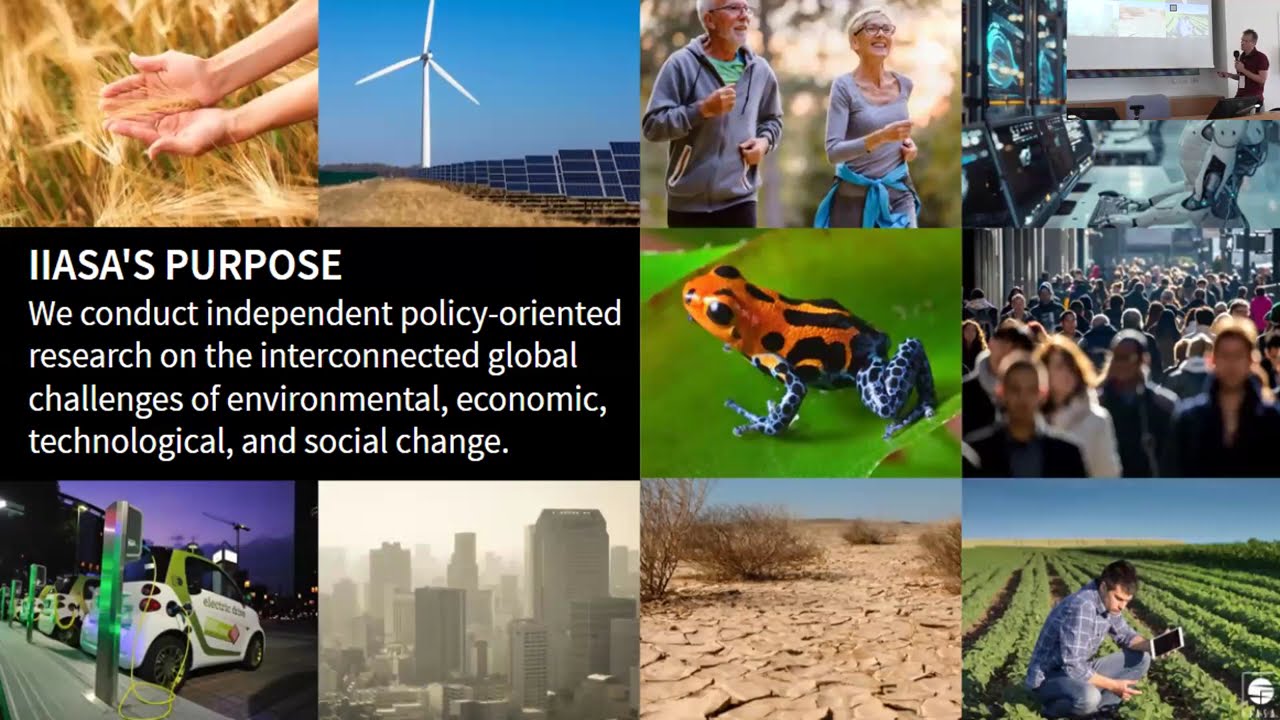
Open-Earth-Monitor
Cyberinfrastructure
environmental data across borders
Bottom-up
data governance
Field data and satellite-based EO in the hands of the people: OEMC will build upon existing open-source software and platforms to develop seamless environmental monitoring app solutions.

Supporting EU policies
and global initiatives
OEMC will include a suite of operational tools to directly support the objectives of the European Green Deal, the EU Climate Adaptation Strategy, the European Data Strategy and the UN Sustainable Development Goals.
1.Working with stakeholders
The gaps and needs of stakeholders will be central to the design process of all OEMC tools. A stakeholder committee will be established and consulted via workshops and surveys.

EU agencies
and programmes
Serving usable environmental information that will help achieve EU sustainability goals and circular economy.

Research organizations
and international cooperation
Monitoring trends to tackle the challenges posed by climate change, biodiversity loss and land degradation.

Service providers
Integrating and supporting European open digital infrastructure to promote data uptake and business development.

User communities
Empowering both experts and stakeholders to enact real-world change with environmental data.
2. Building the cyberinfrastructure
We will build a future-proof data suite by harmonizing field samples, EO technologies and existing data portals. User-friendly monitoring tools based on gaps & needs will enable a diversity of users to search and use environmental information in the office and in the field.
3. Testing with use cases
OEMC monitoring platforms and their tools will be co-designed with users and tested with real-world applications, ensuring their relevance to help solve issues at any scale — be it regional, national, or global.

Forestry
- Forest management & tracking
- EU-rapid forest disturbance monitoring
- Tropical deforestation monitoring
- Reforestation advisor
- Reforestation microclimate

Carbon Accounting
- Large-area estimation of forest carbon emissions
- Enhanced carbon flux tool
- Modeling of carbon sequestration

Land Degradation
- Land Degradation Neutrality
- Biodiversity monitoring and reporting
- Planet health index
- Soil carbon accounting system for world mangroves

Agriculture
- Global monitoring system for livestock and grasslands / pastures
- Crop yield monitoring system
- Meteo-based agricultural insurance tool

Snow
- Frost index tool
- High resolution Snow Water Equivalent in mountain regions

Climate Change
- High-resolution drought monitoring
- Tiger mosquito alert system for Italy

Air
- Air quality assessment at regional and continental scale

Soil
- EU soil monitor

Flood Risk
- High-resolution flood and landslide risk maps for the EU
Project consortium


The Open-Earth-Monitor Consortium

What are we up to
Find out what’s happening in the project!
Sign up to our quarterly newsletter and receive updates about the project’s achievements, tools development and releases, workshops, webinars, events and much more!
📰We just posted an article with key takeaways from the Data Cubes Discussion Forum at the #EuroGEO 2022 Workshop in Athens!
Check out the article on Medium and videos from the presentations 👉 https://bit.ly/3HydoaJ