The OEMC project will analyze whether and how satellite LiDAR data and data on forest management contribute to the biomass model. In addition to this, we will analyze the potential of mobile biomass apps to provide open forest field measurements and support the validation of EO-based biomass.
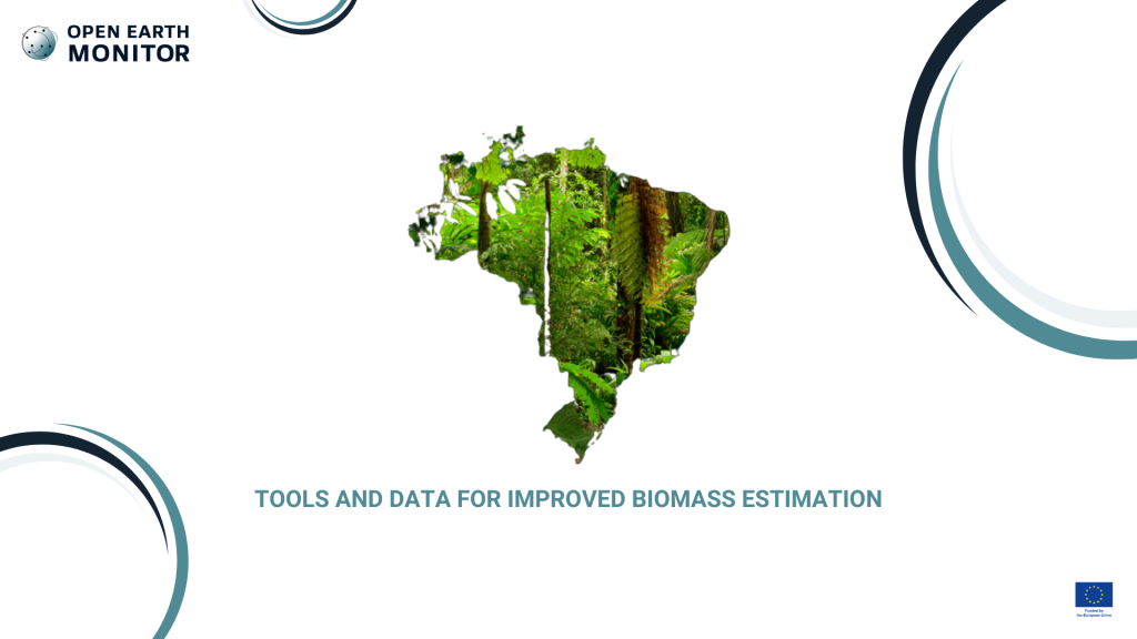
The ESA CCI Biomass maps, while useful globally, have suboptimal performance in regions with highly heterogeneous forests, such as those found in Brazil or some regions in Europe. Satellite LiDAR forest heights can be used to improve the biomass mapping accuracy but those data require at least quality-filtering or calibration before utilizing them. On the other hand, current ground methods for estimating aboveground biomass, such as cutting down trees, are not viable for large-scale monitoring. Measuring biomass quickly and accurately in these diverse ecosystems is difficult due to the wide variety of tree species. Traditional forest inventory methods are time-consuming and require significant effort in the field. Additionally, there is a lack of open-access forest inventory data to validate biomass maps, making it difficult to improve the accuracy of these maps. Thus, the challenge here is to create open and cloud-optimized high-quality satellite LiDAR heights that can be readily used to create more accurate biomass maps by combining them with different types of satellite data and advanced modeling. The second challenge is to understand how an existing citizen-science mobile app can be extended to be suitable for collecting aboveground biomass data at the ground efficiently and accurately.
Our solution
This use case will use new sets of observations from space, specifically from satellite LiDAR, to measure tree height, which will then be utilized to estimate carbon. The use case will also analyze and extend functionalities of the existing citizen-science mobile app that allows users to take pictures and quickly estimate above-ground biomass in restored forests. This app will streamline the process of field data collection and provide an efficient means for estimating aboveground biomass. The app will provide a much-needed tool for technical agencies and regular forest owners who need a quick estimation of aboveground biomass. Furthermore, the use case will develop open tools and open high-quality and cloud-optimized satellite LiDAR data so that many communities can readily use it in their biomass mapping. The outputs of the mobile app will be validated by comparing them to traditional forest inventory measures (measuring tree diameter and height), as well as by gathering feedback from the communities using the data to improve its performance continually.
High-quality satellite LiDAR heights that can be readily used to produce more accurate carbon maps and make the tools and data open, accessible, and usable by a wide range of communities.