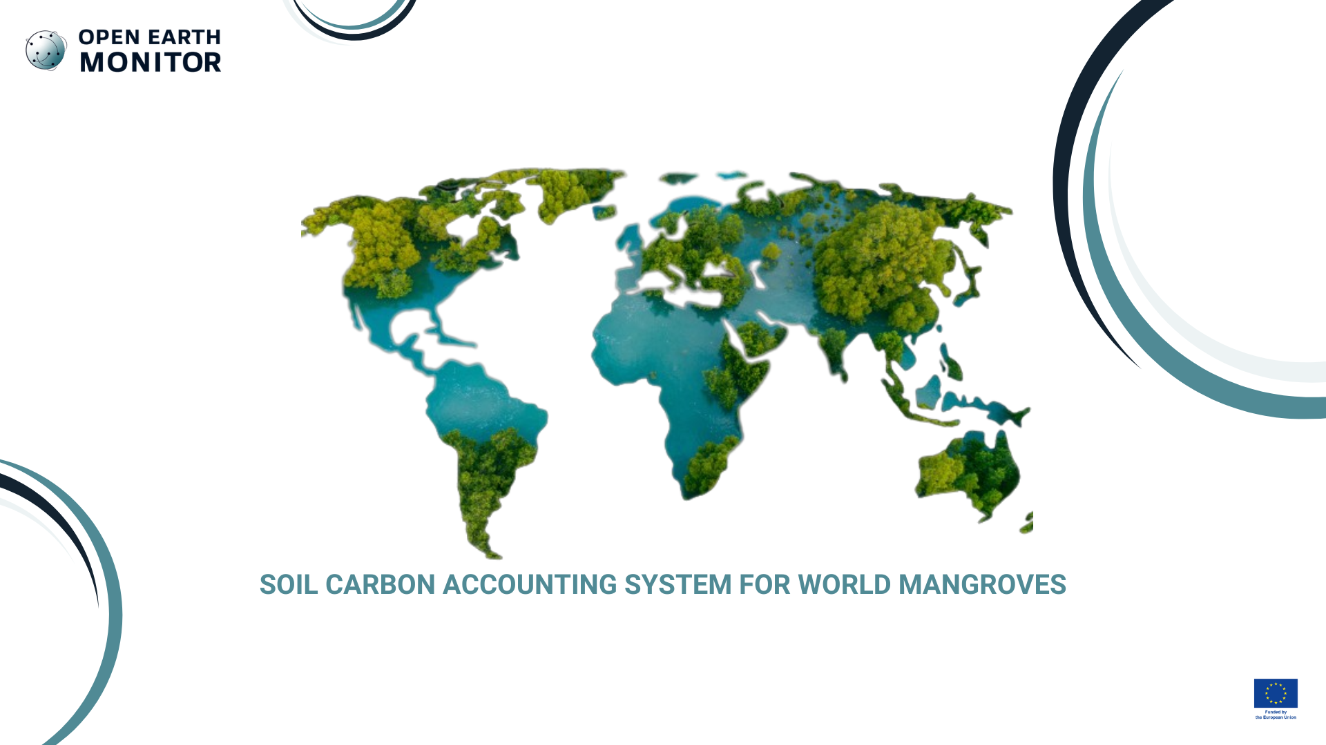
Mangrove forests are among the most carbon-dense ecosystems in the world with most of the carbon stored in the soil. We built a 30-m spatial resolution data representing soil organic carbon stocks for 0–100 cm depth interval and at bi-annual intervals with uncertainty for mangrove soils for the purpose of the Global Mangrove Alliance. Global Mangrove Alliance is currently coordinated by the following members: Conservation International, The International Union for the Conservation of Nature, The Nature Conservancy, Wetlands International and World Wildlife Fund. Currently, most of GIS data for mangroves are managed by Wetlands International. Predictions of soil carbon can then be used to do accounting and estimate losses and gains in the years to come. OpenGeoHub has already helped produce soil carbon estimates for world mangrove forests, in this use-case we have looked at how to automate the process and make it easy for users to add new point data and help improve predictions.
What is the challenge?
Mangrove ecosystems play a crucial role in carbon sequestration, yet accurately accounting for their soil carbon stocks remains difficult. Current estimates often lack the spatial resolution needed to detect local variability and do not incorporate uncertainty metrics or updated point data. This limits the ability of stakeholders to make informed decisions about conservation and restoration initiatives
Our solution
The OEMC project will develop a 30m spatial resolution dataset that represents soil organic carbon stocks at depths of 0–100 cm. Updated every two years, this dataset will include uncertainty measures and be supported by automated processes to integrate new point data for improved accuracy. By building on OpenGeoHub’s previous work, this system will streamline workflows, making it easier for users to add localized data and enhance predictions
Who will benefit?
This tool will benefit conservation organizations like The Nature Conservancy (TNC), environmental researchers, large-scale and local NGOs, and practitioners involved in coastal ecosystem management. Policymakers focused on climate adaptation strategies will also gain access to more accurate carbon accounting data.