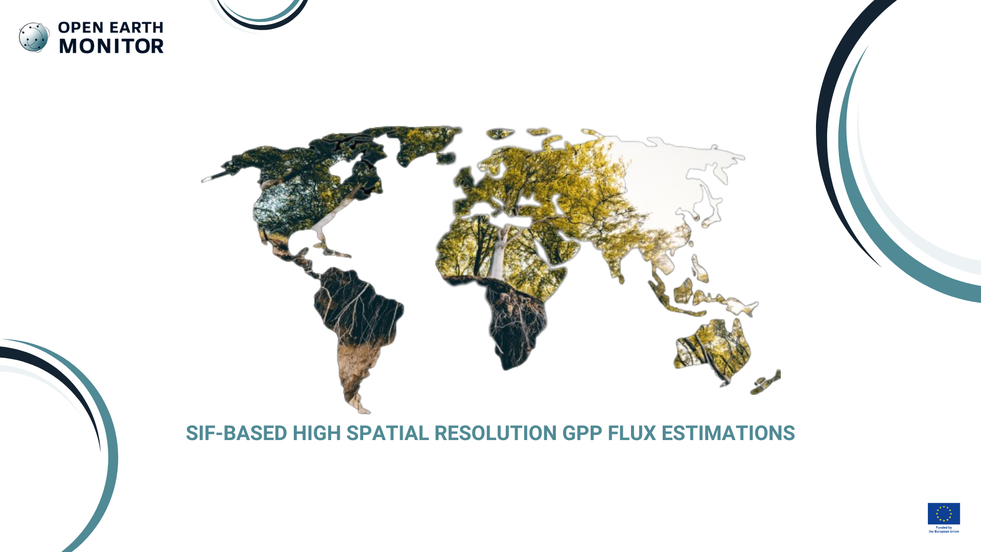
SIF-based high spatial resolution GPP flux estimations
Within the Global Carbon Project (GCP), RECCAP2 aims to establish the greenhouse gas budgets of large regions at continental scale, as well as produce new synthesis of global land, ocean and coastal GHG fluxes. The OEMC project proposes to improve the coarse spatial resolution of satellite observation of sun-induced chlorophyll fluorescence (SIF) signal to enable a better monitor of carbon uptake by terrestrial ecosystems. We will try a novel downscaling approach and combine different sources of remote sensing with AI modeling.
Sun-induced chlorophyll fluorescence (SIF) is a EO signal that has been shown to correlate well with gross primary productivity (GPP), thereby providing an invaluable tool to monitor carbon uptake by terrestrial ecosystems. It has a potential to help global effort for monitoring carbon at global scale and establish the anual global carbon budget, partly by assisting the REgional Carbon Cycle Assessment and Processes (RECCAP) initiative coordinated by the Global Carbon Project. However, current and past satellite instruments from which this SIF signal can be derived have a very coarse spatial resolution (5 km at best), which does not allow to differentiate between different land cover types. Furthermore, the SIF signal is relatively noisy, and theoretically mixes both information of vegetation structure and physiology, which should ideally be disentangled.
Our solution
We propose to develop a dedicated satellite EO downscaling tool to estimate a SIF-based proxy of GPP at finer spatial resolution leveraging on the synergistic use of other sources of remote sensing (e.g. LST, NIRv, etc.) within a hybrid framework, in which a data-driven method is combined with known physical constraints governing the relationships between the input variables. This will be applied to Sentinel 5P TROPOMI data to make a GPP proxy at 1 km spatial scale and with weekly or semi-monthly temporal resolution. We aim to confront the results with flux tower data whilst taking into account the spatial heterogeneity. Furthermore, we aim to deploy the downscaling approach on adjustable moving windows over a Discrete Global Grid System (DGGS) composed of hexagons, which better preserve the area and neighborhood of every cell, thus ensuring a finer representativity of the surface properties.
The carbon science research community as a whole should benefit. The aim is to provide data that can contribute to or assist in the establishing of the annual global carbon budget. Furthermore, various other stakeholders may benefit from a spatially fine proxy of GPP.
Gregory Duveiller Max Planck Group gduveiller@bgc-jena.mpg.de
Type of output
Dedicated satellite EO downscaling tool to estimate a SIF-based proxy of GPP at finer spatial resolution leveraging on the synergistic use of other sources of remote sensing (e.g. LST, NIRv, etc.) within a hybrid framework