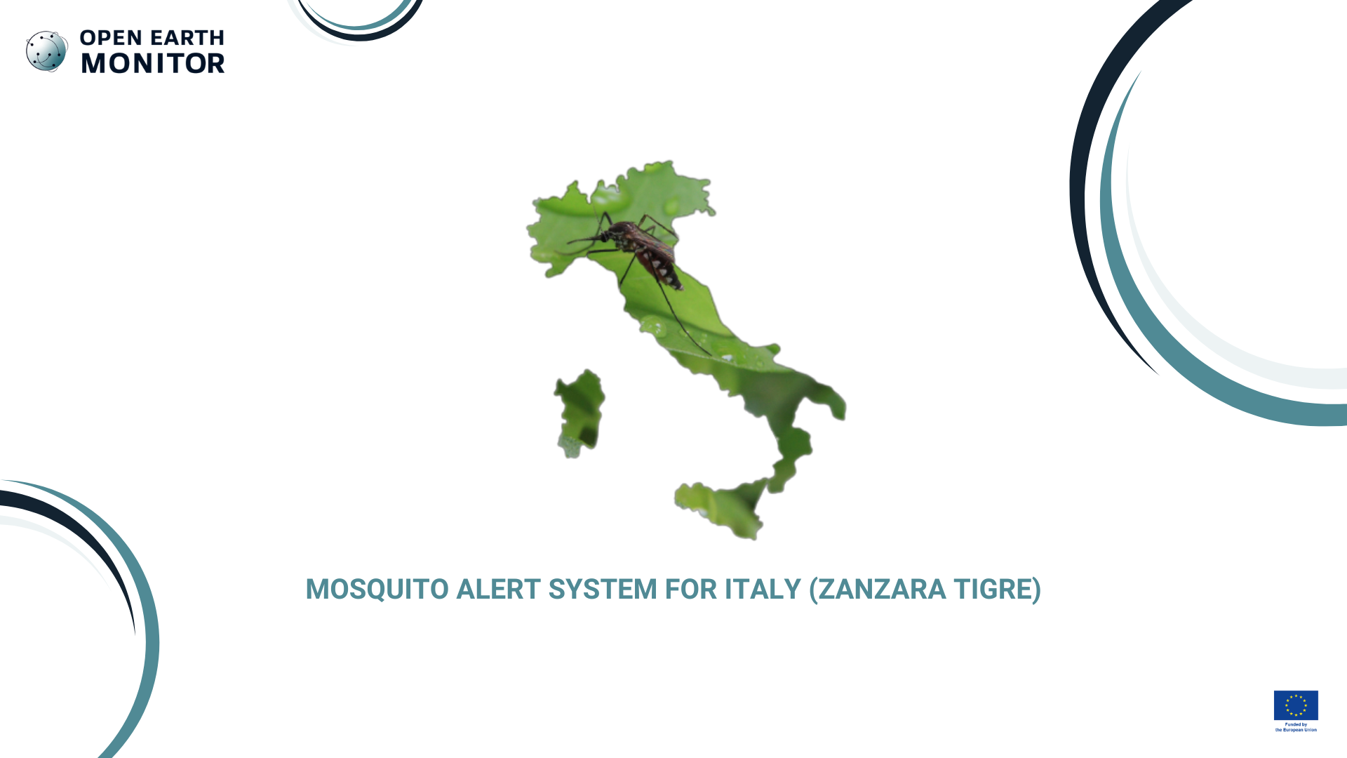
In this use-case we have worked on connecting the operational mosquito (health) monitoring agency with OEMC tools and data. The target stakeholder was Public Health Service, Regione Emilia Romagna, Italy. We provided two complementary open-source model applications whose outputs will support and integrate Emilia-Romagna region (RER) efforts to manage and control Ae. albopictus populations: the region has been collecting daily info on mosquito occurrence since 2017 (755 ovitraps in 10 main cities). They use the point data to generate a warning system, but the mapping framework could be possibly much improved and automated if more modern machine learning methods are used. The OEMC project would thus develop an automated framework for such data to demonstrate that the accuracy of the maps can be improved and production costs reduced. OpenGeoHub and Edmund Mach Foundation have developed an automated framework for such data to demonstrate that the accuracy of the maps can be improved and production costs reduced.
What is the challenge?
The spread of invasive mosquito species, such as the tiger mosquito (Ae.albopictus), poses significant health risks due to their potential to carry diseases. The Emilia-Romagna region in Italy faces difficulties in managing mosquito populations due to limited access to predictive spatial data and tools that can support timely interventions.
Our solution
The Mosquito Alert System leverages continuous capillary point observations gathered by the regional administration together with different state of the art machine learning techniques to provide data-driven insights for mosquito population control. The project includes spatial analysis and modeling training in open-source environments to support decision-making and enhance the region’s control strategies.
Weekly number of mosquito eggs
Who will benefit?
Public health agencies, regional environmental departments, and communities will benefit from improved data and tools to manage mosquito populations more effectively.