WRIGlobal Forest Watch and Land & Carbon Lab are developing forest carbon emissions estimation tools that can be potentially used in all climate zones. OEMC project will combine forests and land change information with earth observation and in-situ biomass data to improve frequency and quality of developed tools. We will work on cases in Peru, Guyana and Mozambique and we will follow the SEEA and the IPCC reporting frameworks.
What is the challenge?
Agriculture, forestry, and other related land uses are key drivers of deforestation, forest ecosystem degradation, biodiversity loss, and the reduction of ecosystem services, and are major sources of greenhouse gas (GHG) emissions. In countries of the tropical and subtropical regions, land use and land cover (LULC) changes related to agricultural activities, mainly small-scale cropland, pastures, and commodity crops, are the primary direct cause of deforestation, significantly contributing to GHG emissions due to the release of stored carbon in vegetation biomass. Assessments of the drivers and agricultural activities causing deforestation and forest degradation in food systems on a global scale are limited by spatial resolution and temporal coverage, while quantitative national-scale and field measurements are often deficient. These conditions limit the accuracy, completeness, and consistency of reported country GHG emissions and removal estimates, which are used for formulating and evaluating national reduction targets or accomplishing goals under international climate change mitigation agreements.
Our solution
Current efforts focus on advancing the understanding of deforestation drivers, commodity expansion, and associated forest-related carbon emissions. We aim to quantify the spatial and temporal dynamics of commodity-driven deforestation and estimate carbon emissions by integrating national-scale (TIER 2) agricultural census and crop type data with advanced remote sensing and machine learning techniques.
This framework provides disaggregated estimations on emissions by crop types and land-use changes, refining national GHG inventories to enhance policy relevance.
Additionally, mapping of post-deforestation land-use events will be scaled to a pantropical level, focusing on commodities linked to the European Union’s deforestation regulation (EUDR).
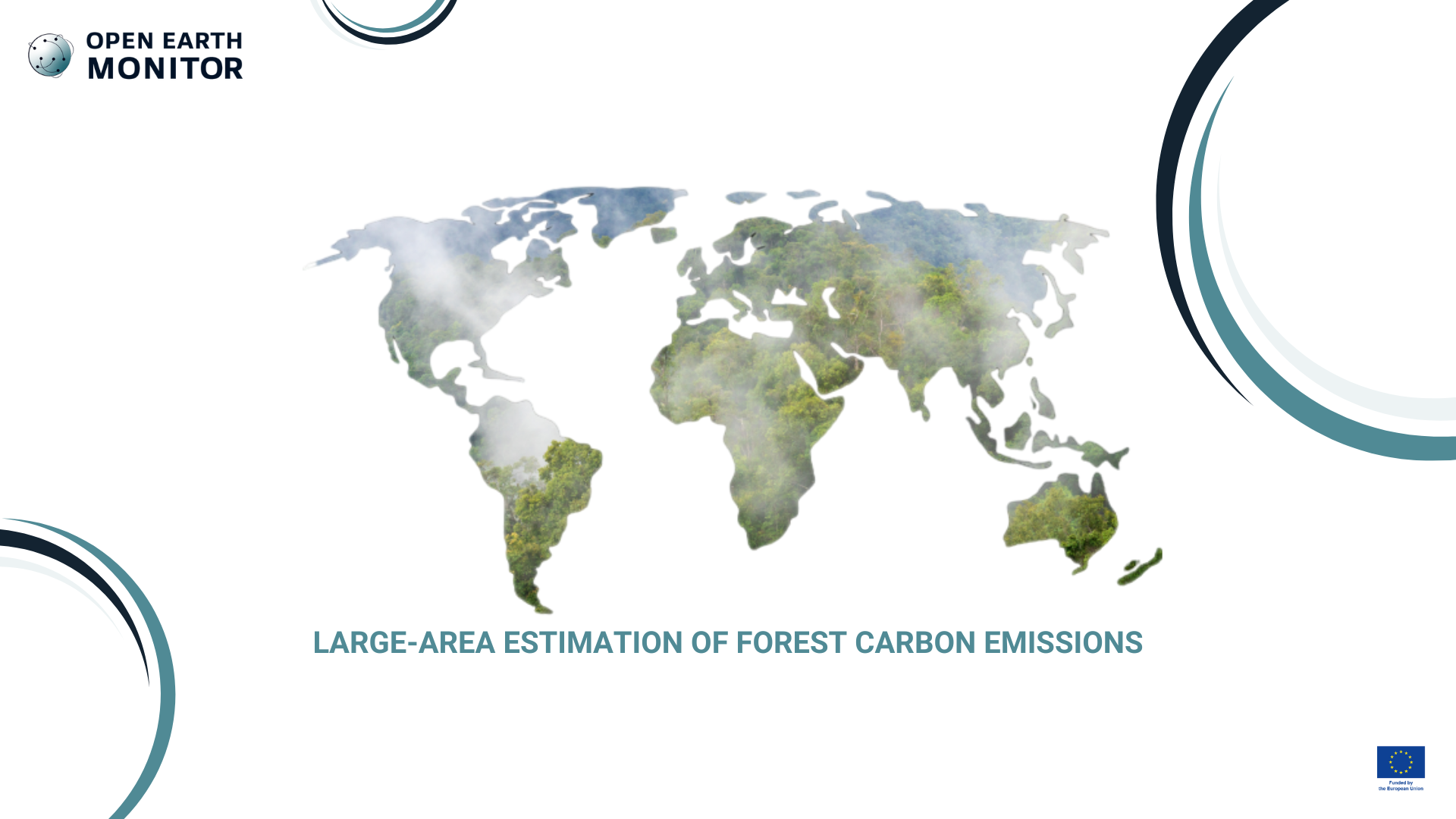
Global tree cover extent, loss and gain from 2000 to 2012. From High-resolution maps of 21st-century forest cover change by Hansen et al., 2013
Who will benefit?
These findings will inform evidence-based policies and contribute to global efforts toward carbon neutrality: this information will be invaluable to a diverse range of stakeholders, such as country-specific case studies aligned with the IPCC-GPG reporting framework, multilateral organizations like the OECD, and international NGOs, to optimise the global impact of emissions reduction efforts around the world.
The work will outline actionable recommendations tailored to national/regional contexts, aligning with national priorities and policies. Targeted national-level policy engagement will strengthen institutional capacity and stakeholder collaboration, facilitating the integration of low-emission strategies into climate and development policies.