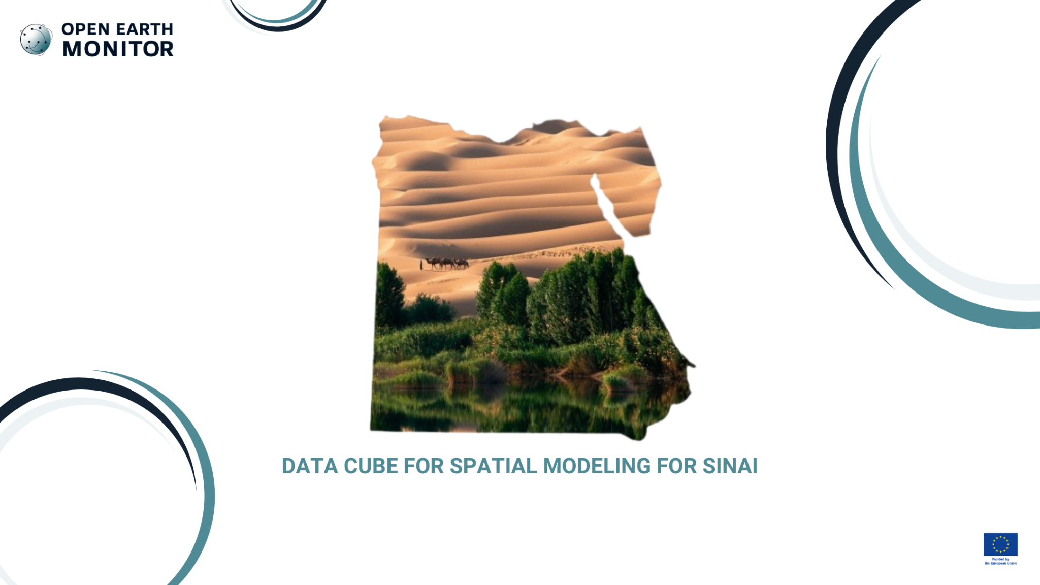
Various Sinai land re-greening restoration projects require most detailed and most up-to-date environmental data to feed various scenario testing / landscape design project. The OEMC project will build a data cube for Sinai which will include vegetation, carbon, and water cycle changes.
What is the challenge?
The area of the Sinai Peninsula in Egypt presents the major challenge of scarcity of information regarding the water balance and cycle, which is necessary to properly design regreening processes for the region. There is currently not enough information available to create models and forecasts for how arid areas like the Sinai could look if different types of inputs, like ecosystem services and nature-based solutions, could be applied to the area. The lack of data makes it difficult to determine how to mitigate the desertification and make these areas more useful for humankind, such as greener areas for farming or forests on top of mountains in the peninsula.
Our solution
The OEMC project is supporting determining the modeling framework of the use case, as well as building a data cube with all the required covariates. When the model is ready, it can be tested using data subsets and can ultimately be used to perform predictions using spatiotemporal machine learning. The zoom of the obtained historical gap-filled and harmonized satellite data related to the land atmospheric interactions of the Sinai can support predicting the bioclimatic effects of their regreening practice by altering the vegetation covariates according to the regreening design. Ultimately it will help to adjust how this regreening design can evolve in the future, based on those predictions being made, thanks to machine learning.
The more geospatial data that is available, such as humidity, vegetation, and how vegetation can affect humidity, cloud formation, and overall temperature in the region, the better they will be able to make wise decisions regarding their regreening strategy. The data provided will provide more information that they can use to make sure that the project is as close to a real-life application as possible.
Who will benefit?
Geospatial analysts, ecologists, coastal engineers, and, overall, everyone who will eventually be able to live in the area thanks to the project.