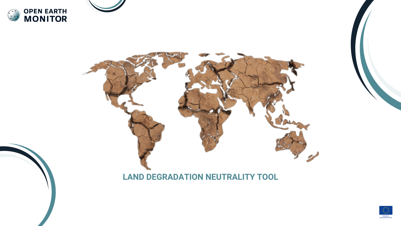
The UNCCD currently measures land degradation neutrality at 300 m spatial resolution, while the modern open EO data is available publicly at finer resolutions even up to 10 m resolution. To make LDN data more usable and matching the field conditions, OEMC project aims at developing opensource tools for measuring land potential and productivity at higher resolution (up to 30 m) and providing analysis ready data in a distributed system with Cloud-Optimized GeoTIFFs.
What is the challenge?
Current land degradation monitoring relies on coarse 300m resolution data, making it difficult to accurately assess and report changes at the local level. Countries face challenges in accessing and selecting from the numerous land cover datasets available, which can be resource-intensive and overwhelming. This impacts their ability to produce timely, high-quality environmental reports.
Our solution
The Open Earth Monitor project provides an open-source tool that offers detailed land productivity and potential data at 30m resolution. By using cloud-optimized formats, the tool simplifies access to analysis-ready datasets and enables countries to select the best data for their needs. This makes it easier for national agencies to track environmental changes and submit precise reports to global frameworks.

Global map of Bimonthly 30m Gross Primary Productivity for 2022
Who will benefit?
Policymakers, national environmental agencies, and researchers will benefit by gaining reliable tools for land monitoring and reporting. This supports their efforts to meet international environmental goals, such as those set by the UNCCD.
Scope
Target Partner Organizations
OEMC Leading Partner
Get in touch!
Type of output
- High-resolution (30m) analysis-ready maps of land potential and productivity in Cloud-Optimized GeoTIFF format, which will enable users to track land degradation and restoration trends and produce national reports by leveraging open-source tools.”
Technology readiness level
- TRL3: Experimental proof of concept
Location
Worldwide


