Back

Knowledge Hub

The OEMC video repository is an online resource that shares open-access talks, webinars, and educational materials such as trainings sessions. This is an online learning environment that aims at sharing and disseminate OEMC’s discoveries and outputs for Earth Observation analysis, integration and applications.

The content is hosted by the TIB.Av Portal and is freely accessible for anyone around the globe. Any problem? Contact us!

Global Workshop 2024

Organized by OpenGeoHub foundation in collaboration with the International Institute for Applied Systems Analysis (IIASA), the 3rd edition of the Open-Earth-Monitor Global Workshop brought together over 100 experts in geospatial data to showcase advanced Earth Observation tools designed to support the development and implementation of European climate policies. See the webpage for more detail. 

OEMC Global Workshop 2023

46 Videos

Science Webinars

The Open-Earth-Monitor project, funded by the EU Horizon Europe research and innovation programme, organizes monthly science webinar hosting two researchers working with Earth Observations, geospatial environmental data, monitoring networks and alert systems and their applications.

2023

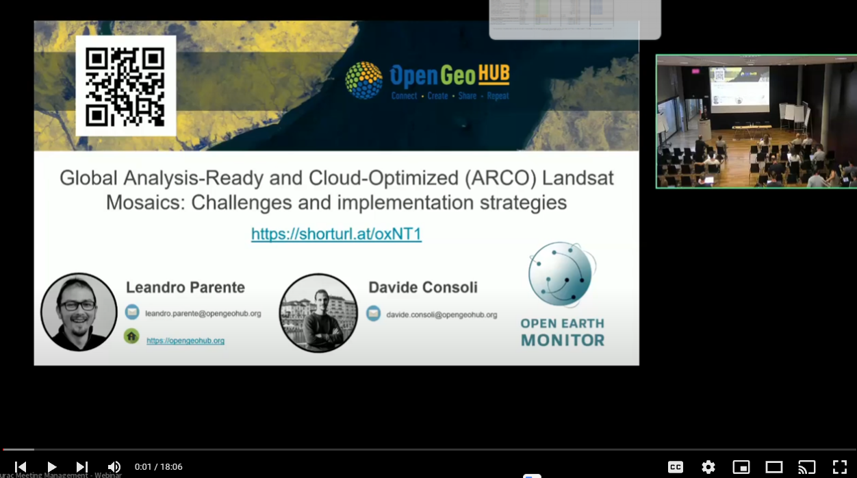
This presentation is about OpenGeoHub’s efforts at creating a harmonized, multi-source spatiotemporal data cube for Europe, and how this data cube was used to produce consistent continental annual land use/ land cover maps. He also showed around the EcoDataCube platform that hosts the data cube and the land cover maps!

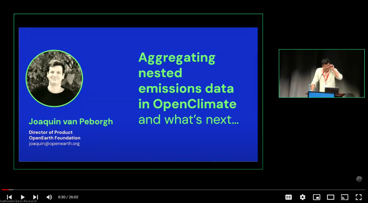
This presentation showcased the OpenClimate platform, the data schema and data aggregation work done, and its roadmap and opportunities of collaboration for the open source and open data community.

In this presentation, Quentin Groom wanted to give attendees a sense of biodiversity data, where it comes from, what they want to learn from it, and what the challenges are. He did this in the context of the B-Cubed project (https://doi.org/10.3030/101059592) that aims to contribute to solving some of these challenges and made particular reference to citizen science for the collection of data and the advantages and challenges this presents.

Paolo Filippucci presented a methodology to derive river discharge information from near-infrared (NIR) satellite sensors. The approach has been applied to different river basins worldwide in the framework of the ESA projects RIDESAT, STREAMRIDE, HYDROCOASTAL and 4DMED-hydrology, by using NIR data sensed by MODIS and Sentinel-2 sensors.

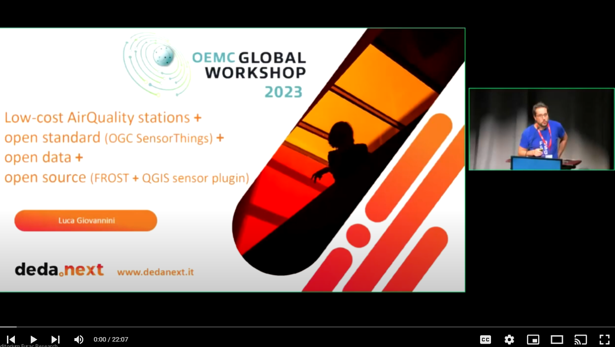
In this presentation, Joan Maso showed that in order to make sense of sensor data, a data model that semantically tags the data is needed. Sensor Things API helps to map “data columns” to concepts (time, observed property, location, etc.), making the data machine-readable, and as a bonus, this structured API has rich query capabilities.

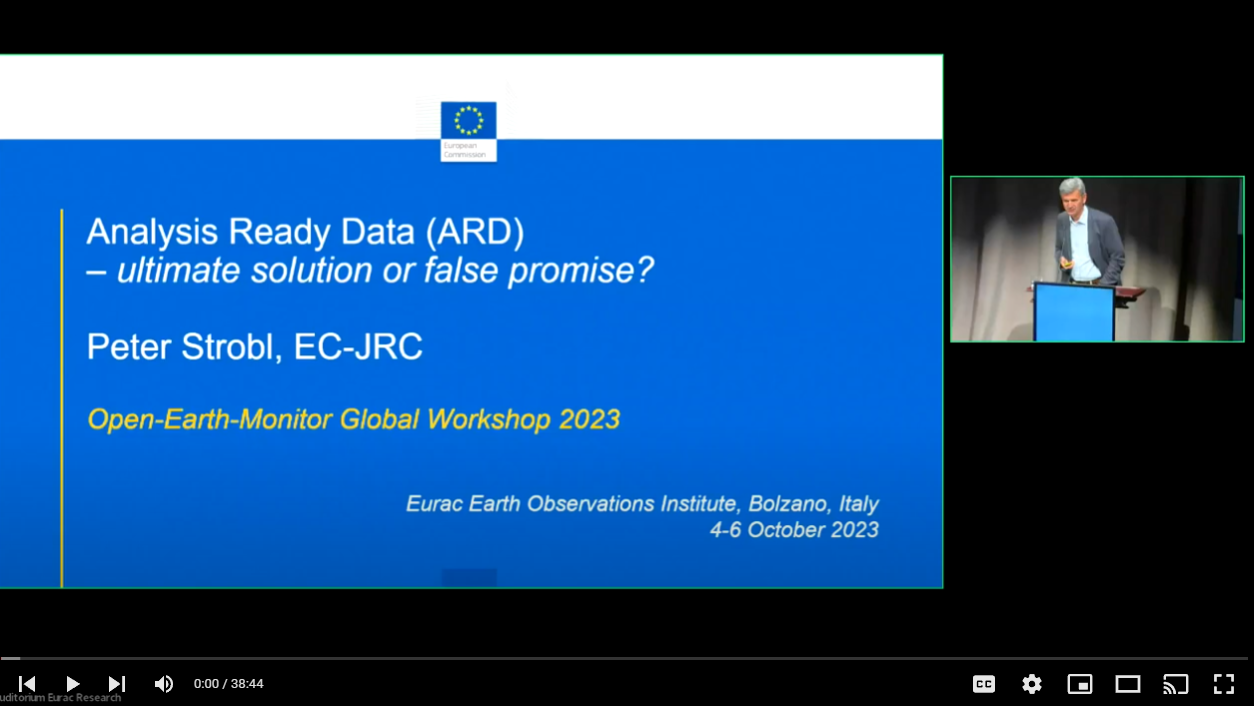
This presentation is an overview of the development of CEOS-ARD, its current status, and provided an outlook on the next steps in CEOS-ARD and the OGC SWG.

The ADO Project is about creating a scientifically sound operational drought information web platform aiding decision makers on an alpine to regional level in managing water resources and drought impacts. The ADO web platform feeds on big data satellite and climate archives on the input side and shows curated drought information through an interactive web platform for stakeholders and decision makers. The presentation  guides through the concepts, operational maintenance and update and shows the web platform in action.

This presentation showcases  the community needs in terms of in situ data (collected from automated sensors, ground measurements in various thematic areas remains), following an inventory that was done with 28 activities from the GEO Work Programme.

InBestSoil is a research and innovation action funded under the call: Incentives and business models for soil health. The idea behind this project is to translate into monetary values the interventions that we make to improve the soil quality, as well as the ecosystem services provided by healthy soils.  This presentation is about the InBestSoil project.
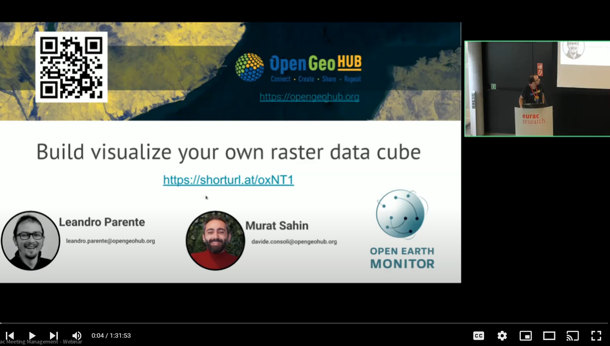
This presentation is about discussing the concept of data cubes, cloud computing, and why openEO is a good idea to use for computing on large data cubes. It also discussed how machine learning and deep learning work, and showed how these methods can be applied to data cubes using openEO (which is a work in progress, really).
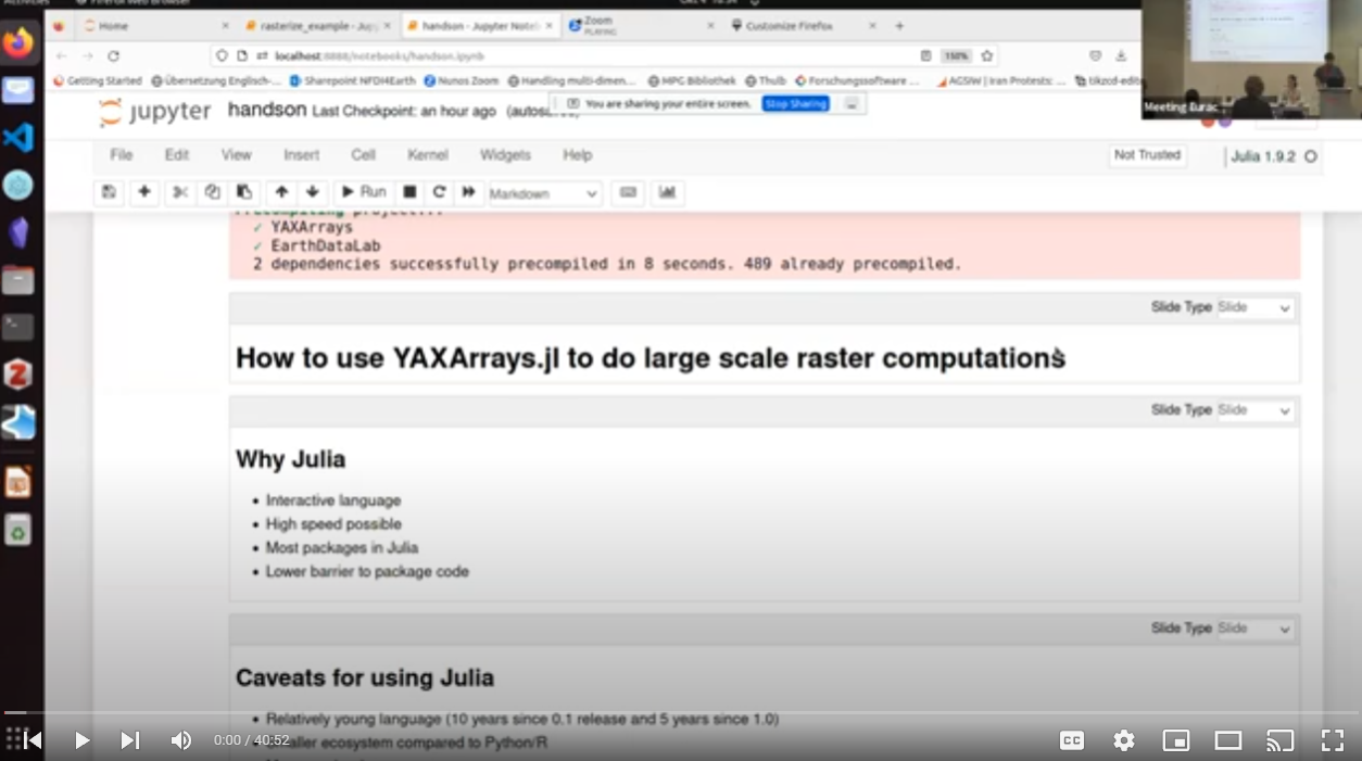
In this talk Felix Cremer presents how he is using the Julia programming language to process large raster data. Julia is an interactive scientific programming language, designed for HPC applications with primitives for Multi-threaded and Distributed computations built into the language.
This seminar reflects on the role of data science in digital twins of the natural environment, with particular attention on how resultant data models can work alongside the rich legacy of process models that exist in this domain.
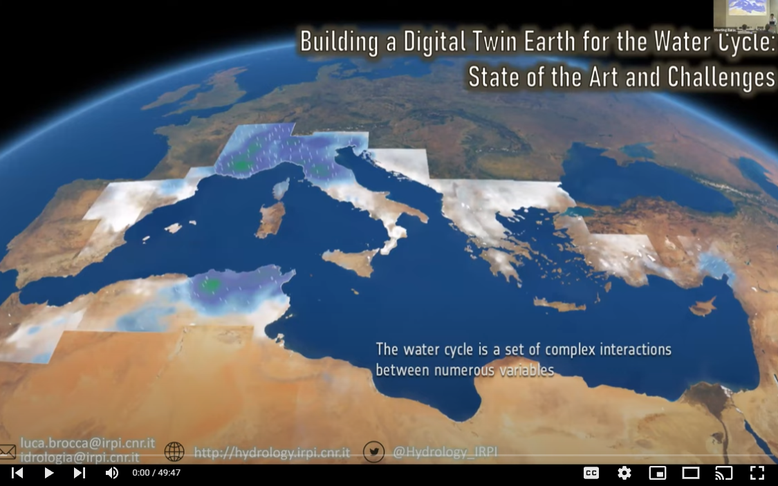
The presentation shows the first results of the development of a DT for the water and energy cycle, as developed in the ESA DTE Hydrology project, with applications in the Mediterranean basin for flood and landslide risk mitigation, and for water resources management (see the video), the DTE Hydrology Platform, and the DTE Hydrology Final Report.
This webinar introduces sits, an open-source R package for land use and land cover classification of big Earth observation data using satellite image time series.
Forest degradation is hard to spot by satellites, and its effects in the rain forest remain underestimated. An important part of Amazon degradation is induced by fire; however, the successive use of fire over the same area has often been overlooked. In this presentation, Alber Sanchez introduces it's team's efforts to answer this question using the Brazilian near real-time deforestation detection system (DETER).
Satellite images can be used to derive time series of vegetation indices, such as normalized difference vegetation index (NDVI) or enhanced vegetation index (EVI), at global scale. Unfortunately, recording artifacts, clouds, and other atmospheric contaminants impacts a significant portion of the produced images, requiring the usage of ad-hoc techniques to reconstruct the time series in the affected regions. In literature, several methods have been proposed for this scope, to the best of our knowledge, none of them provide an open source framework that can be applied to the reconstruction of remote sensing dataset of size in the order of PetaBytes with good performance and reasonable computational time. Davide Consoli presents here a new method that he and his team implemented in OpenGeoHub to tackle those challenges. In addition to the reconstructed time series, the method outputs a quality assessment layer to quantify the expected effectiveness of the reconstruction.

2024

This talk describes these processes of land cover change and discusses how they can be assessed using satellite remote sensing observations, thanks to some methodological tools involving space-for-time substitution that are being improved and developed within the OEMC project.
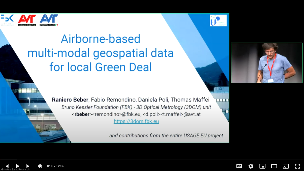
This talk presents how the EODC can be used to monitor environmental changes across countries and can enable more effective responses to problems of national and regional significance.
In this session a broad introduction to In-situ data and the definitions used was given. It provided an overview of authoritative and non-authoritative data sources, the importance of In-Situ data for training remote sensing deep learning models (showcasing WorldCover and C-GLOPS training data sets, etc.) and other citizen science data (e.g. iNATURALIST etc.). Methods for how in-situ data can be extracted from Mapillay and Streetview were also discussed.

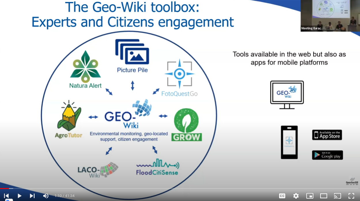
This talk provided a brief overview of the Geo-Wiki application for the collection of land cover and land use reference data using crowdsourcing and the visual interpretation of very high-resolution satellite imagery. These reference data have been used to create training data sets and to validate land cover/land use products in a range of different applications including cropland extent, forest management and the drivers of deforestation, which will be presented in brief.

Recent advancements in technology and increased understanding of scientific issues at a large scale have facilitated a broader perspective in numerous scientific studies, thereby presenting novel challenges. Standardization and harmonization have emerged as pivotal concepts across various aspects of ecological research, encompassing instrumentation, methodologies, data processing, quality, metadata. This talk explores the evolution over the past three decades of in-situ measurements of greenhouse gas (GHG) fluxes worldwide, from initial campaigns to the establishment of the FLUXNET community, to investigate the current challenges and the possible advancements in this field.
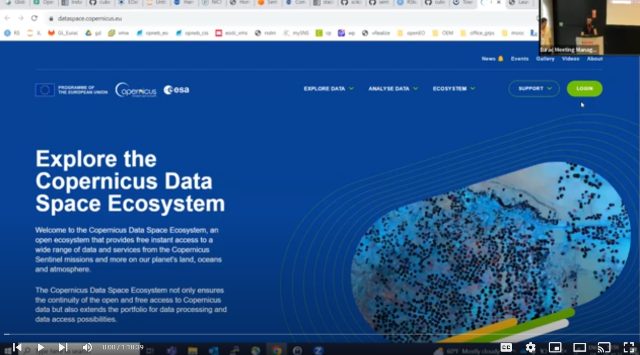
This talk covers the key innovative aspects in Earth Observation data management introduced by the Copernicus Data Space Ecosystem and its commercial component, CREODIAS. These aspects include access to entire archives of Copernicus satellite data with immediate online availability, a range of data access and processing APIs, mechanisms for tracing data product integrity, as well as tools for collaborative data analysis and visualization, and support for custom data processing workflows.
Accurately mapping cocoa farm locations is a challenging endeavor due to the complex and heterogeneous nature of tropical landscapes. Robert's research aims to employ deep learning methodologies to unveil the locations of cocoa farms across the pan-tropics. By leveraging the rich spatiotemporal information provided by Sentinel-1 and Sentinel-2 satellite data, complemented by location encodings, he and his team aim to develop a robust and accurate mapping framework. Through this research effort, they aspire to provide valuable insights into cocoa farm locations, facilitating sustainable cocoa production practices, land management strategies, and conservation efforts across the pan-tropical forests.
The SERVIR program is a collaboration between the U.S. Agency for International Development (USAID) and NASA. This program utilizes space technology, open data, and open science to address a wide range of environmental and development challenges.

Workshop "Present and Future of Data Cubes"

The Open-Earth-Monitor project organized a workshop on state-of-the-art Data Cube solutions, what is missing and how to prepare for the future during the EuroGEO workshop 2022. The objectives were to review existing top-level solutions to organize large EO data, share and enable researchers and organizations to make use of it for applied purposes; understand which Open Source solutions provide cutting-edge functionality to process EO data and how to make EO data processing more transparent and more reproducible;  Moderators: Tom Hengl and Carson Ross (OpenGeoHub).

ENVISION develops and pilot tests innovative tools for the continuous, large scale and uninterrupted monitoring of farm management activities with regard to sustainability, in compliance with the CAP's agri-environmental objectives. At the workshop organized by the Open-Earth-Monitor project in Athens during the EuroGEO 2022, Thanassis Drivas from the National Observatory of Athens (NOA) presented the ENVISION Data Cube for Big Satellite Image Time-Series to support AI-based national-scale agriculture Monitoring.

The EcoDataCube is an Open Data Portal, a freely-accessible viewer containing gridded layers for Europe at spatial resolutions of 30-m or more. The maps are produced using FOSS4G software solutions, Machine Learning and Open Earth Observation data. The Open Environmental Data Cube for Europe data aim at serving decision-ready layers such as land cover, air quality and pollution, potential natural vegetation and similar and it was part of the Geo-Harmonizer project that ended in 2022. At the workshop organized by the Open-Earth-Monitor project in Athens during the EuroGEO 2022, Leandro Parente from the OpenGeoHub foundation presented the EcoDataCube.eu

AD4GD’s mission is to co-create and shape the European Green Deal Data Space as an open hub for FAIR data and standards-based services that support the key priorities of pollution, biodiversity and climate change. The focus will be on interoperability concepts that bridge the semantic and technology gaps which currently prevent stakeholders and application domains from multi-disciplinary and multi-scale access to data, and which impede the exploitation of processing services, and processing platforms at different levels including Cloud, HPC and edge computing. Joan Maso from Centre de Recerca Ecològica i Aplicacions Forestals (CREAF) showed the AD4GD project at the workshop organized by the Open-Earth-Monitor project in Athens, during the EuroGEO Workshop 2022.

B3 (B-cubed) stays for Biodiversity Building Blocks for policy and it is an upcoming Horizon Europe project that will use the concept of data cubes to simplify and standardize access to biodiversity data using the Essential Biodiversity Variables framework. These cubes will be used, in conjunction with other environmental data and scenarios, as the basis for models and indicators of past, current and future biodiversity. The overarching goal of the project is to provide easy access to tools in a cloud computing environment, in real-time and on-demand, with state-of-the-art prediction models of biodiversity, that will output models and indicators of biodiversity status and change. At the workshop organized by the Open-Earth-Monitor project in Athens during the EuroGEO 2022, Quentin Groom from the Plantentuin Meise presented the B3 project.

F.A.I.R. Information Cubes – FAIRiCUBE aims to enable players from beyond classic Earth Observation (EO) domains to provide, access, process, and share gridded data and algorithms in a FAIR and TRUSTable manner. This project’s goal is to leverage the power of Machine Learning (ML) operating on multi-thematic datacubes for a broader range of governance and research institutions from diverse fields, which at present cannot easily access and utilize these potent resources. At the workshop organized by the Open-Earth-Monitor project in Athens during the EuroGEO 2022, Stefan Jetschny from the Norwegian Institute for Air Research presented the FAIRiCUBE.

HARMONIA will provide a resilience assessment platform to help urban stakeholders understand and quantify Climate Change effects. Based on satellite and auxiliary data, the HARMONIA platform will offer a user-friendly knowledge base, dispensing detailed information on a local neighbourhood and street level. This will support local decision-making and foster a wide range of applications dedicated to climate adaptation and mitigation, such as Carbon Capture and Storage technologies. At the workshop hosted by the Open-Earth-Monitor project during the EuroGEO 2022, Anastasios Temenos from the National Technical University of Athens, presented this H2020-funded project.

Upcoming

Kick-off Event

The mission of the Open-Earth-Monitor project consortium is to significantly accelerate the uptake of environmental information to guide current and future users in research, decision-making and citizens toward the most sustainable solutions. The consortium organized a public launch event in Wageningen on July 19th, 2022 to present the OEMC missions, activities, outputs and outstanding partners of the Open-Earth-Monitor project.

Tom Hengl, co-founder and technical director at OpenGeoHub foundation, introduced the Open-Earth-Monitor project and illustrated its missions, goals and activities at the 'Innovative governance, environmental observations and digital solutions in support of the European Green Deal’ workshop held in Wageningen (NL) on July 19th.
Jean Dusart is a policy officer at the European Commission DG Research & Innovation. At the OEMC project kick-off, Jean explored how the novel Open-Earth-Monitor project can support the twin transitions, namely the ‘green transition’ upheld by the European Green Deal, and the ‘digital transition’ promoted by the European Data Strategy.
Erwin Goor, Project Officer for Environmental Observation at the European Commission’s European Research Executive Agency introduced the audience to another ambitious European Data initiative, the European Group on Earth Observation (EuroGEO): since 2017, it operates as an incubator to produce, deliver, promote, and scale EO services and applications in association with Copernicus programme, European countries and most importantly with users.
Ichsani is responsible for business development and development and use of Open data sets at OpenGeoHub foundation. Ichsani is agricultural land and water restoration, natural resource monitoring, soil carbon methodologies specialist. In this talk, Ichsani highlighted the gaps and reasons to achieve environmental data governance, and how the Open-Earth-Monitor project intends to encourage this process.
Gert-Jan Nabuurs is professor European forest resources at Wageningen University and Research. His expertise is European scale forest resource analyses, carbon sequestration under climate change. He is IPCC Coordinating lead Author in the Sixth Assessment Report for Agriculture and Forestry. In this talk, Gert-Jan shared his long-standing experiences in gathering
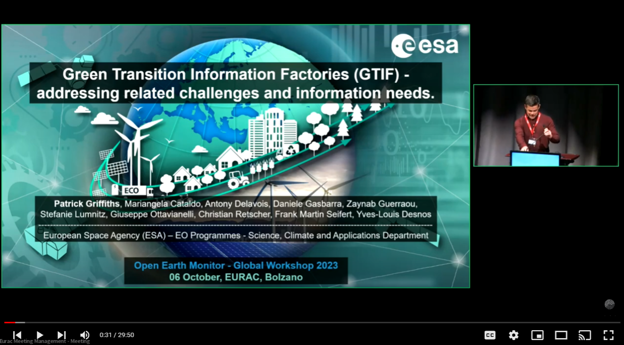
Patrick Griffiths is a Earth Observation Data Engineer at European Space Agency – ESA, based in Italy. At the Open-Earth-Monitor kick-off, Patrick introduced the data management burden affecting scientists, particularly in the EO space, exploring possible solutions and semplifications paths – as shown by the EuroData Cube and OpenEO Platform initiatives.
Stathes Hadjiefthymiades is a professor in the Department of Informatics and Telecommunications, University of Athens. Stathes presented the novel Horizon-Europe project ‘EO4EU’ which aims at making Earth Observation (EO) data more accessible by providing an AI-augmented ecosystem with improved user interfaces for EO service and data powered by extended reality. EO4EU and OEMC are sister projects and will collaborate on multiple grounds in the coming years.
Joanna Ruiter is an Advisor Satellite Applications at NSO - the Netherlands Space Office. At the Open-Earth-Monitor kick-off, Joan discussed the importance of tracking impacts of environmental investments, making sure that funds are spent efficiently.