Under the European Green Deal, the EU biodiversity strategy for 2030 commits to planting at least 3 billion additional trees in the EU by 2030. The OEMC project will create a tool to help identify what kind of tree species can be planted in specific areas of interest based on a list of suitable species per location with at a spatial resolution of 30 m. Each pixel will show the number of suitable species and the users can then decide which ones to plant according to specific needs (increasing biodiversity, production, protection etc). The tool will be limited to areas currently covered by forests, croplands (to incentivize the creation of agroforestry systems), grasslands and transitional (shrubs, bushes) areas.
What is the challenge?
According to the EU’s Biodiversity Strategy for 2030, Europe is preparing operational planning for planting 3 billion trees over the EU by 2030. But how to optimize this process to reduce any necessary costs? How to maximize survival rates for plants and ensure that plants match natural vegetation as much as possible?
Our solution
The EU-reforestation planner tool will help identify what kind of tree species can be planted in specific areas of interest. The tool aims to address this gap by providing a spatially detailed, accessible tool that offers recommendations on tree species for reforestation projects, helping users make informed decisions on species selection for different environmental and land-use contexts.
Who will benefit?
Forestry organizations, government agencies, research institutions, environmental NGOs, landowners and farmers will all benefit from this use case.
Scope
Target Partner Organizations
OEMC Leading Partner
Get in touch!
Type of output
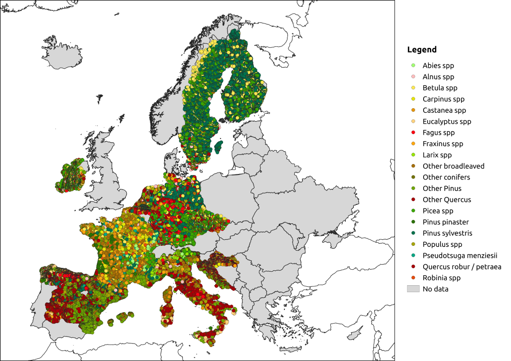
Tool to explore species suitability per area, species importance characterization (e.g. biodiversity, production, protection), and Distribution models, species diversity maps.
Technology readiness level
TRL3: Experimental proof of concept
Location
Europe
Related publications
Links of interest
- Prevalent trends in realized probability of occurrence of main European forest tree species for 2000–2020
- Current and future global distribution of potential biomes under climate change scenarios
- Future potential distribution of tropical evergreen broadleaf forest (RCP 2.6)
- Multi-decadal trend analysis and forest disturbance assessment of European tree species: concerning signs of a subtle shift
- Carmelo Bonannella: Multidecadal analysis and forest disturbance assessment of European tree species
- Leandro Parente, Carmelo Bonannella: Predicting the future Earth under climate scenarios


