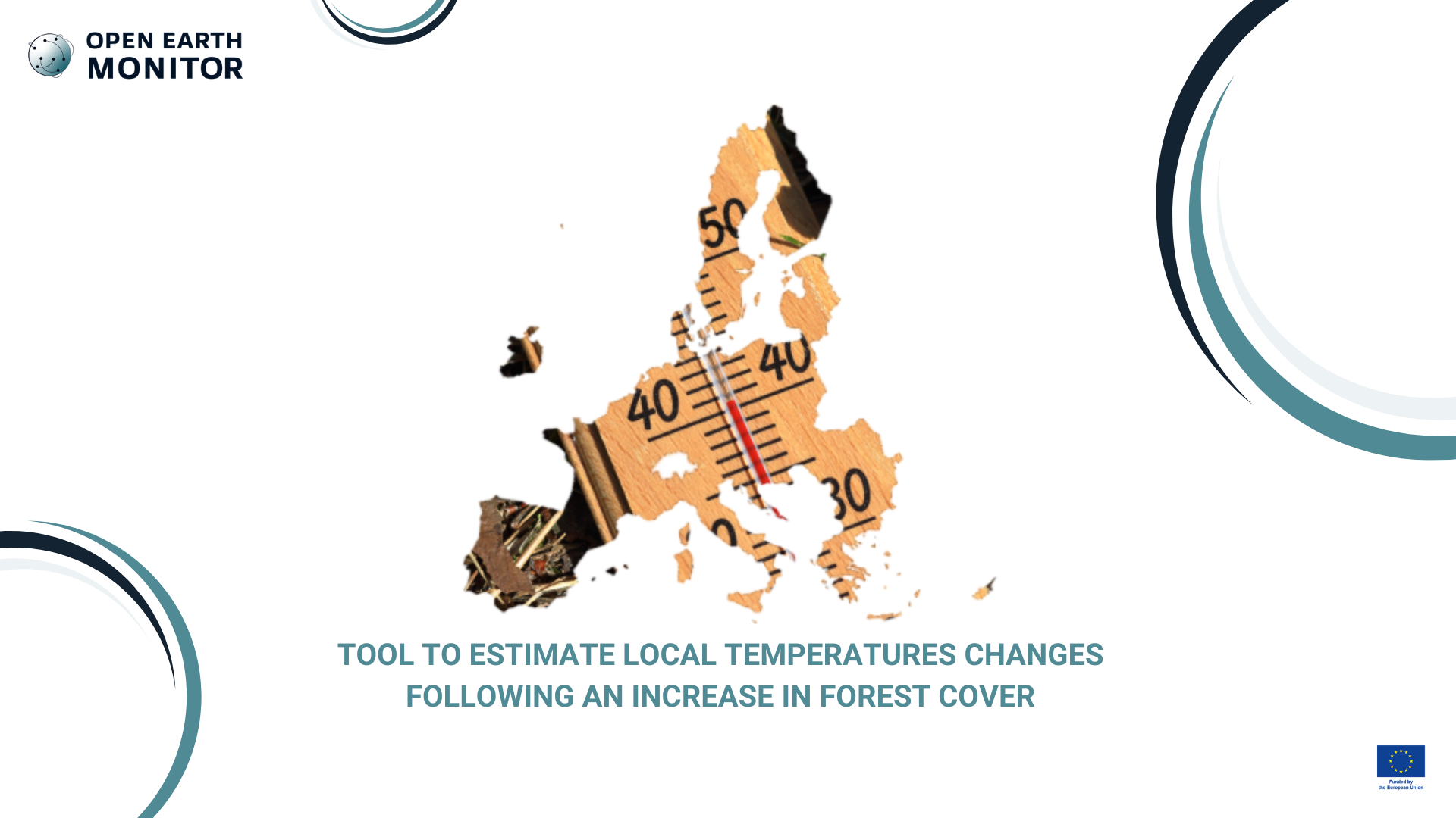
Tool to estimate local temperatures changes following an increase in forest cover
OEMC aims to produce a dataset that provides an estimation of local surface temperature changes in relation to forest cover variations. It will serve to inform the JRC Forest Observatory and advise on thermal consequences of land-based mitigation strategies such as tree planting. It will be based on SEVIRI data and previous work.
The JRC is currently setting-up an EU forest observatory that aims at gathering many types of spatial layers regarding forest in a consolidated way across Europe. Information on the potential impacts of forest cover change in terms of biophysical effects (e.g. changes in temperature) are of particular interest as these are currently not considered in policy, and yet can have considerable impacts at local scale. While some (coarse) estimations already exist from previous studies, it would be useful to have such maps of changes in temperature based on better forest type descriptions and ideally for different times within the day.
Our solution
We propose an improved space-for-time substitution methodology to produce a dataset providing a fine-scale estimation of how much surface temperature would change locally following changes in the forest cover. Based on remote sensing observation of land surface temperature (LST) from the MSG geostationary satellite, our method produces diurnal cycles of temperature changes a ~5km spatial resolution for every month of the year over most of Europe and Africa.
Potential changes to surface temperatures caused by deforestation at a) day-time, b) night-time. Also shown: Global differences in c) average, and d) difference between day and night. Source: Duveiller et al., 2018
The dataset will serve to inform the JRC Forest Observatory and advise on thermal consequences of land-based mitigation strategies such as tree planting.