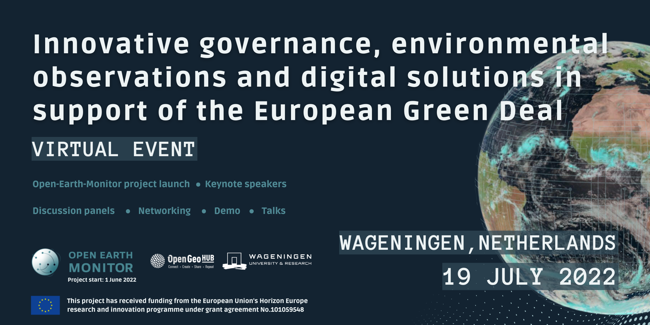
Innovative governance, environmental observations and digital solutions in support of the European Green Deal
Wageningen, Netherlands | online
19 July 2022
European partners
Keynote speakers
Demo Sessions
Live-feedback & questions
We aim to connect
user communities
with Big Earth Data
Open-Earth-Monitor is a EU-Horizon Europe funded project that aims at building an open-source cyberinfrastructure to accelerate uptake of environmental information and help build user communities at European and global levels.
Starting date: 1st of June 2022
Why join this
public workshop?
Discover the Open-Earth-Monitor project values and explore how you can become central in the design and testing of the first FAIR-cyber infrastructure. Seize the chance to network and connect with international organizations!
The programme
9:00 – 9:35
Introduction to the project: what is the OEM cyberinfrastructure project?
![]() LIVE
LIVE
Tomislav Hengl
(OpenGeoHub)
Room C0222
9:35 – 9:50
Enabling bottom-up governance of environmental data
![]() LIVE
LIVE
Ichsani Wheeler
(OpenGeoHub)
Room C0222
9:50 – 10:10
Anchoring Open-Earth-Monitor to the twin transition
![]() LIVE
LIVE
Jean Dusart
(Project Officer at European Commission DG Research & Innovation)
Room C0222
10:10 – 10:30
EuroGEO related project portfolio
![]() LIVE
LIVE
Erwin Goor
(Project Officer, Environmental observation at European Commission – European Research Executive Agency)
Room C0222
10:30 – 11:00
Coffee Break
1st floor cafeteria
11:00 – 11:30
Earth Observation Land Data & Services beyond 2022
![]() LIVE
LIVE
Joanna Ruiter
(Netherlands Space Office)
Room C0222
11:30 – 12:00
EO Platforms and open science in support of Green Deal ambitions
![]() LIVE
LIVE
Patrick Griffiths
(European Space Agency)
Room C0222
12:00 – 12:30
Data and governance gaps in the context of achieving Land Degradation Neutrality (SDG Target 15.3)
![]() LIVE
LIVE
Barron Joseph Orr
(Lead Scientist, United Nations Convention to Combat Desertification)
Room C0222
12:30 – 13:30
Lunch
Interactive demos:
Test existing tools and discover
projects directly with the creators!
1st floor cafeteria
Hall in front of room C0222
13:30 – 14:00
Better connecting the European groundbased forest inventories with EO data; 27 years experiences with gathering ground based data
![]() LIVE
LIVE
Gert-Jan Nabuurs
(Wageningen University and Research)
Room C0222
14:00 – 14:30
Open knowledge to bridge the digital divide
![]() LIVE
LIVE
Yana Gevorgyan
(Geo Secretariat)
Room C0222
14:30 – 15:00
Mapping Land Use and Land Cover: The Challenges of Going Glocal
![]() LIVE
LIVE
Gilberto Camara
(Senior Researcher, National Institute for Space Research, Brazil)
Room C0222
15:00 – 15:30
Coffee break
Interactive demos:
Test existing tools and discover projects directly with the creators!
1st floor cafeteria
15:30 – 16:00
Need for environmental observation data: working with the private sector and investors
![]() LIVE
LIVE
Dagmar Mooij
(IDH-The Sustainable Trade Initiative)
Room C0222
16:00 – 16:30
Global land cover and land use monitoring
![]() LIVE
LIVE
Matt Hansen
(Co-director at Global Land Analysis and Discovery)
Room C0222
16:30 – 17:00
EO4EU: AI-augmented ecosystem for EO data accessibility with XR User Interfaces for Service and Data Exploitation
![]() LIVE
LIVE
Stathes P.
Hadjiefthymiades
(Dept. of Informatics & Telecommunications, University of Athens, EO4EU project)
Room C0222
17:00 – 17:30
Discussion forum “How can EO and AI help deliver green new deal/ what could be the most cost-effective path — the win-win-win?” ![]() LIVE
LIVE
Panel: all keynote speakers
Moderator: Tom Hengl (OpenGeoHub)
Room C0222
17:30 – 18:00
Happy hour
1st floor cafeteria
Demo session 1: 13:10 – 13:25
1) Accessing and using the Open Environmental Data Cube for Europe 2000–2022+
with Leandro Parente - OpenGeoHub
2) Monitoring deforestation in Amazonia with sits R package
with Rolf Simoes - INPE, Brazil
"sits is an open source R package for satellite image time series analysis. It uses machine learning techniques for classifying image time series obtained from earth observation data cubes. In this demo session, we show a case study on deforestation mapping in Rondonia, one of the most deforested regions in the Brazilian Amazon."
https://e-sensing.github.io/sitsbook/
3) OpenEO platform
with Peter Zellner - EURAC
"openEO platform provides intuitive programming libraries to process a wide variety of earth observation datasets. This large-scale data access and processing is performed on multiple infrastructures, which all support the openEO API. This allows use cases from explorative research to large-scale production of EO-derived maps and information."
4) Spatio-temporal Earth Diagnosis with data cubes
with Markus Reichstein - Max Planck Institute for Biogeochemistry (MPI-BGC)
https://www.bgc-jena.mpg.de/bgi/
Demo session 2: 15:05 – 15:25
1) CREAF web map client. How to do band calculations at screen resolution in real time with JavaScript binary arrays
with Joan Maso Pau - University of Barcelona
https://www.creaf.cat/earth-observation-services
2) SM2RAIN dataset for climate
with Luca Ciabatta - CNR-IRPI
http://hydrology.irpi.cnr.it/download-area/sm2rain-data-sets/
3) LandGriffon Solutions. Unlocking the sustainability of companies Supply Chain
with Maria Ricart - Vizzuality
"LandGriffon's purpose is to help companies sustainably transform the global agricultural system at the pace urgently needed to address climate change, preserve biodiversity, and tackle inequality."
4) Building open data analysis communities: co-creation and co-design
with Edzer Pebesma - ifGI, University of Muenster
"From my experience in the R-spatial user and developer communities, I will speculate how we can make the collection of data and the creation of derived products more inclusive. I think that data and derived products are more a means to get a communication going than an end in themselves, and will suggest aspects we should try to do or rather avoid."
https://www.uni-muenster.de/Geoinformatics/en/institute/staff/index.php/119/edzer_pebesma
All the sessions will be live streamed on Eventbrite through the ZOOM live-streaming service. Register on Eventbrite and select the sessions of your interest to follow the live-stream from your location!
When you register, you will receive link to the Open-Earth-Monitor online event page in your confirmation email. You must join from the online event page (on Eventbrite).
Keynote speakers
Erwin Goor
REA
Jean Dusart
Joanna Ruiter
Dagmar Mooij
monitoring"
Matt Hansen
University of Maryland
Yana Gevorgyan
Observations Secretariat
in support of Green Deal ambitions"
Patrick Griffiths
Officer
Stathes Hadjiefthymiades
Gert-Jan Nabuurs
Barron Joseph Orr
Gilberto Camara
What to expect
Connecting data science
to the ground
We want to build bridges connecting (Big) Earth Observation Data with the real world. How do we turn useful environmental information into action? Follow our live feedback throughout!
How to produce and release FAIR environmental data?
We aim to facilitate the uptake of environmental information for everyone by making data easier to access, understand and use.
Ask, discuss, suggest:
Let’s find out how.
Enabling bottom-up governance for
environmental data
Discover how people and their stories from the ground are vital to effectively monitoring Earth and land changes. Connect, explore and be part of the early user-testing!
Forum building - Wageningen
University and Research Campus
The Netherlands
Forum – Wageningen Campus
Ph: +31 721 1063
Wageningen University Campus
Wageningen,
The Netherlands
Research institutes, private businesses and public organizations:
Meet our partners













Get in touch!
If you wish to collaborate or have any questions about the event, please contact us.


