- This event has passed.
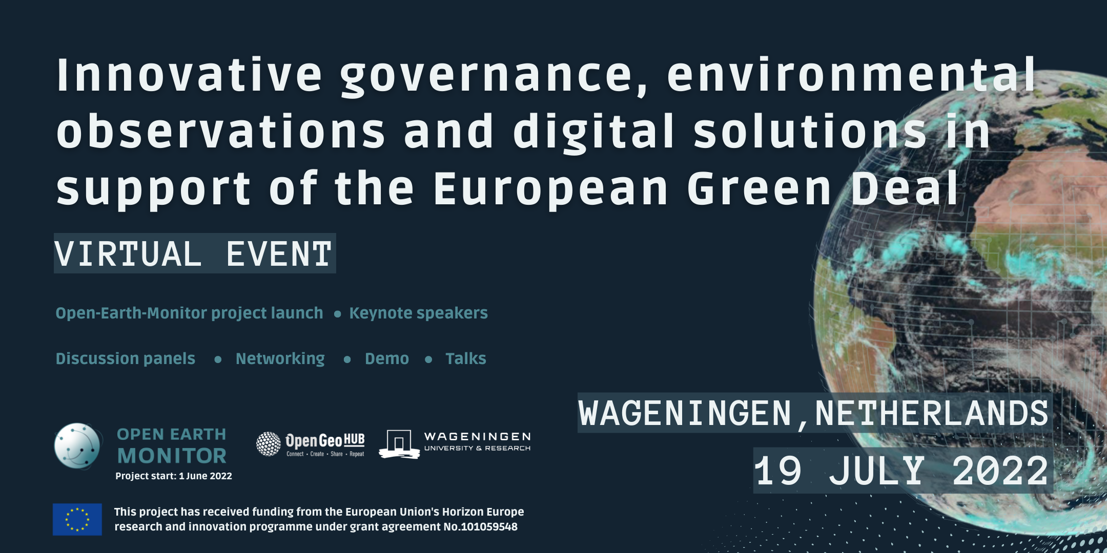
Innovative governance, environmental observations and digital solutions in support of the EU Green Deal

Open-Earth-Monitor is a Horizon Europe project gathering a consortium of 23 organizations across Europe and beyond, starting on June 1st. The mission of the Open-Earth-Monitor project consortium is to significantly accelerate the uptake of environmental information to guide current and future users in research, decision-making and citizens toward the most sustainable solutions.
The consortium invites you to follow the launch event through a high-quality live-stream service from anywhere in the world & get to know the future activities, outputs and outstanding researchers part of the Open-Earth-Monitor project.
Deadline for registration: 1 June 2022
Programme
(CEST – Amsterdam)
Block 1 (09:00 – 09:35)
Introduction to the project: what is the OEM cyberinfrastructure project? by Tomislav Hengl (OpenGeoHub)
Block 2 (09:35 – 09:50)
Enabling bottom-up governance of environmental data by Ichsani Wheeler (OpenGeoHub)
Block 3 (09:50 – 10:10)
Anchoring Open-Earth-Monitor to the twin transition by Jean Dusart (Project Officer at European Commission DG Research & Innovation)
Block 4 (10:10 – 10:30)
EuroGEO related project portfolio by Erwin Goor (Project Officer, Environmental observation at European Commission – European Research Executive Agency)
Coffee Break (10:30 – 11:00)
Block 5 (11:00 – 11:30)
Earth Observation Land Data & Services beyond 2022 by Joanna Ruiter (Netherlands Space Office)
Block 6 (11:30 – 12:00)
EO Platforms and open science in support of Green Deal ambitions by Patrick Griffiths (European Space Agency)
Block 7 (12:00 – 12:30)
Data and governance gaps in the context of achieving Land Degradation Neutrality (SDG Target 15.3) by Barron Joseph Orr (Lead Scientist, United Nations Convention to Combat Desertification)
Lunch & Interactive Demos (12:30 – 13:30)
Block 8 (12:00 – 12:30)
Better connecting the European groundbased forest inventories with EO data; 27 years experiences with gathering ground based data by Gert-Jan Nabuurs (Wageningen University and Research)
Block 9 (14:00 – 14:30)
Open knowledge to bridge the digital divide by Yana Gevorgyan (Geo Secretariat)
Block 10 (14:30 – 15:00)
Mapping Land Use and Land Cover: The Challenges of Going Glocal by Gilberto Camara (Senior Researcher, National Institute for Space Research, Brazil)
Coffee Break (15:00 – 15:30)
Block 11 (15:30 – 16:00)
Need for environmental observation data: working with the private sector and investors by Dagmar Mooij (IDH-The Sustainable Trade Initiative)
Block 12 (16:00 – 16:30)
Global land cover and land use monitoring by Matt Hansen (Co-director at Global Land Analysis and Discovery)
Block 13 (16:30 – 17:00)
EO4EU: AI-augmented ecosystem for EO data accessibility with XR User Interfaces for Service and Data Exploitation by Stathes P. Hadjiefthymiades (Dept. of Informatics & Telecommunications, University of Athens, EO4EU project)

