Open-Earth-Monitor Cyberinfrastructure
Increasing European capability to produce timely, accurate, and people-centered information based on Earth observations

Open-Earth-Monitor project
We are building an Artificial Intelligence / Machine Learning open-source computing engine that supports the FAIR principles, to accelerate the uptake of open environmental information and build resilient user communities.
In this introduction video, Carson Ross, Project Manager, introduces the project by breaking the name down into its parts:
- Open, in support of open-science initiatives for the co-development of reproducible products;
- Earth-Monitor, the tools being created to track and monitor various environmental indicators; and
- Cyberinfrastructure, which is an ecosystem of actors creating and using data tools in support of the sustainable environmental policy.
Funded by the Horizon-Europe program of the European Commission, a consortium of 23 partners led by the OpenGeoHub foundation will provide operational solutions and decision-making tools for European and global initiatives, to directly support the objectives of the European Green Deal, the EU Climate Adaptation Strategy, the European Data Strategy and the UN Sustainable Development Goals.
Open-Earth-Monitor Web App - Tier 1
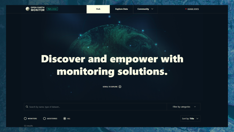
The OEMC Web App is the central place to access and view major project outputs, including datasets, use cases and monitors. This is the Tier-1 platform intended for already published data sets and research articles.
OpenLandMap - Tier 2
OpenLandMap is a global environmental data platform providing high-resolution, open-access maps of soil, climate, and land cover derived from machine learning and Earth observation data. It supports sustainable land management, ecological monitoring, and spatial modeling through standardized, ready-to-use geospatial layers.
The most extensive version of the data is hosted on OpenLandMap.org, while a selection of layers that can support on-the-ground activities / serving specific OEMC use-cases and partner organizations, will be made available in combination with other layers from Tier 2 stream.
OEMC Global Workshop 2025

20:30

30:24

29:07

28:56

29:56

14:43

15:19

29:05

17:44

29:53

25:23

1:17:30

10:24

24:48

25:51

23:06

23:37

30:24

20:18

27:06

18:24

16:10

1:26:05

20:30

1:26:58

22:05

1:07:01

1:28:16

17:25

29:30

33:10

29:37

17:55
Testing with use cases
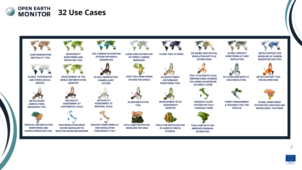
OEMC monitoring platforms and their tools will be co-designed with users and tested with real-world applications, ensuring their relevance to help solve issues at any scale — be it regional, national, or global. Check out the full list of Use Cases on the dedicated webpage.
Collaborating with stakeholders
The gaps and needs of stakeholders are central to the design process of all OEMC tools. A stakeholder committee has been established and consulted via workshops and surveys.
In this video series, we interview stakeholders and project partners leading specific use cases within the OEMC project.
Each episode explores the origin of the use case, the challenges it addresses, and how OEMC aims to provide innovative, open, and impactful solutions. We discuss expected policy, technical, and data-driven outcomes, and how these outputs will support different user groups.
Sarah Carter is research associate at WRI’s Global Forest Watch. In this interview, Sarah highlights the importance of the Open-Earth-Monitor project, and discusses its outreach and potential by drawing comparisons with the World Resource Institute’s Global Pasture Watch platform, a project using ensemble machine learning algorithms, visual interpretations, crowdsourcing, and earth observation data fusion to produce per-pixel probabilities of land use and land cover, livestock density, short vegetation height, and gross primary productivity (GPP) to produce recurrent and high-resolution (30-meter) maps for pasture areas and productivity from 2000 onwards. The interview further explores how the OEMC project can advance large-area estimation of forest carbon emissions and develop seamless environmental monitoring app solutions.
Mark Dowell is Senior Scientific Officer and Project Leader for Scientific and Technical Support to the Copernicus Programme at the European Commission’s Joint Research Centre. He Leads the European Commission's Knowledge Centre on Earth Observation. His current work focuses on activities aiming to incentivize a scientifically sound and traceable uptake of Copernicus products and Services in European Policy and in the context of international commitments. Mark is a co-chair of the Copernicus Task Force for the proposed Copernicus Anthropogenic CO2 emission initiative and Chair of the Copernicus Climate Change Service Expert Panel. He currently leads CEOS activities on the CEOS Carbon Strategy and the CEOS/CEOS Greenhouse Gas monitoring Task Team and is also a co-Chair of the Climate Change Working Group in the Group on Earth Observations. In this interview, Mark discusses the impact of the Open-Earth-Monitor project on European climate policies, comparing key collaborations between Copernicus and international initiatives like the Paris Agreement that are aimed at improving the usability and impact of EO data in policy-making.
Inge Jonckheere is Head of Green Solutions Division at the European Space Agency (ESA), ESRIN (Rome). The Interview focuses on open data, open science and open platforms, exploring how the Open-Earth-Monitor project is contributing to the goal of having more FAIR and openly accessible data in the field of Earth Observation.
Paola De Salvo started her Geospatial career within the International Institute of Aerospace Survey and Earth Science (ITC) in the Netherlands. She later brought her GIS and Remote Sensing competencies to the United Nations Specialized Agencies of Food and Agriculture Organization (FAO) and World Food Programme (WFP) to ensure Earth Observations are used for decision making in developing countries. After 12 years of applying her skills within the UN System, she transitioned to the private sector where she worked for Esri Inc, as a solution engineer in support of United Nations and NGO GIS / Remote Sensing related projects. Believing in the power of Open Earth Observations Data and Knowledge she joined the Group on Earth Observations (GEO) Secretariat as an Information Technology Officer coordinating GEOSS Platform and GEO Knowledge Hub development, implementation and users uptake. In this interview, Paola explores the Open-Earth-Monitor project’s contribution on reaching the GEO objectives, further discussing the project’s innovative work on implementing Open EO Knowledge.
Daniel Loos is a Data scientist, bioinformatician and full stack engineer at the Max-Planck-Institut for Biogeochemie. In this interview, Daniel discusses the potential of the Open-Earth-Monitor project and its potential in developing a unified global index system, also considering other projects, like the Discrete Global Grid Systems, in exploring today’s contribution to spatial statistics and global geospatial monitoring.
Bottom-up data governance
Field data and satellite-based EO in the hands of the people who take decisions: OEMC builds upon existing open-source software and platforms to develop seamless environmental monitoring app solutions.

EU agencies
and programmes
Serving usable environmental information that will help achieve EU sustainability goals and circular economy.
Research organizations
and international cooperation
Monitoring trends to tackle the challenges posed by climate change, biodiversity loss and land degradation.

Service providers
Integrating and supporting European open digital infrastructure to promote data uptake and business development.

User communities
Empowering both experts and stakeholders to enact real-world change with environmental data.
Building the cyberinfrastructure
We are building a future-proof data suite by harmonizing field samples, EO technologies and existing data portals. User-friendly monitoring tools based on gaps & needs will enable a diversity of users to search and use environmental information in the office and in the field.
High-perf computing
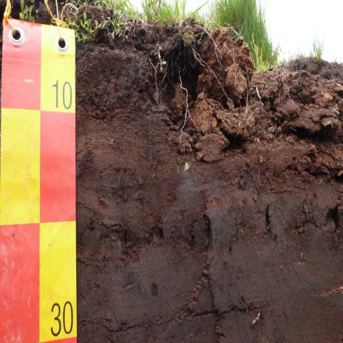
A state-of-the-art scalable system will analyze and serve both EO and in-situ data providing accurate environmental information.
User-friendly monitors
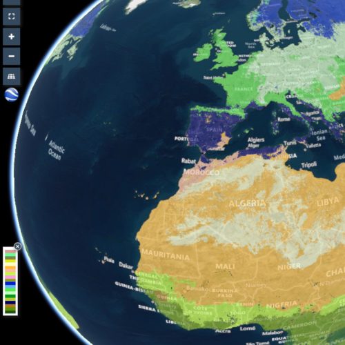
Innovative visualizations and dashboards allow a global community to turn data into knowledge -all F.A.I.R. compliant.
Ecological accounting
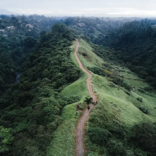
Financial assessment tools will directly quantify ecosystem services (consistent with the SEEA), facilitating sustainable change.
Community Building
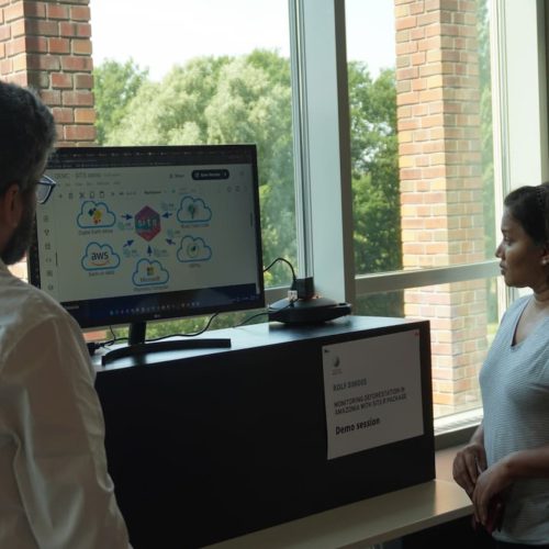
OEMC will bring stakeholders together in resilient and effective user communities, empowering them to to tackle global challenges.
Project consortium
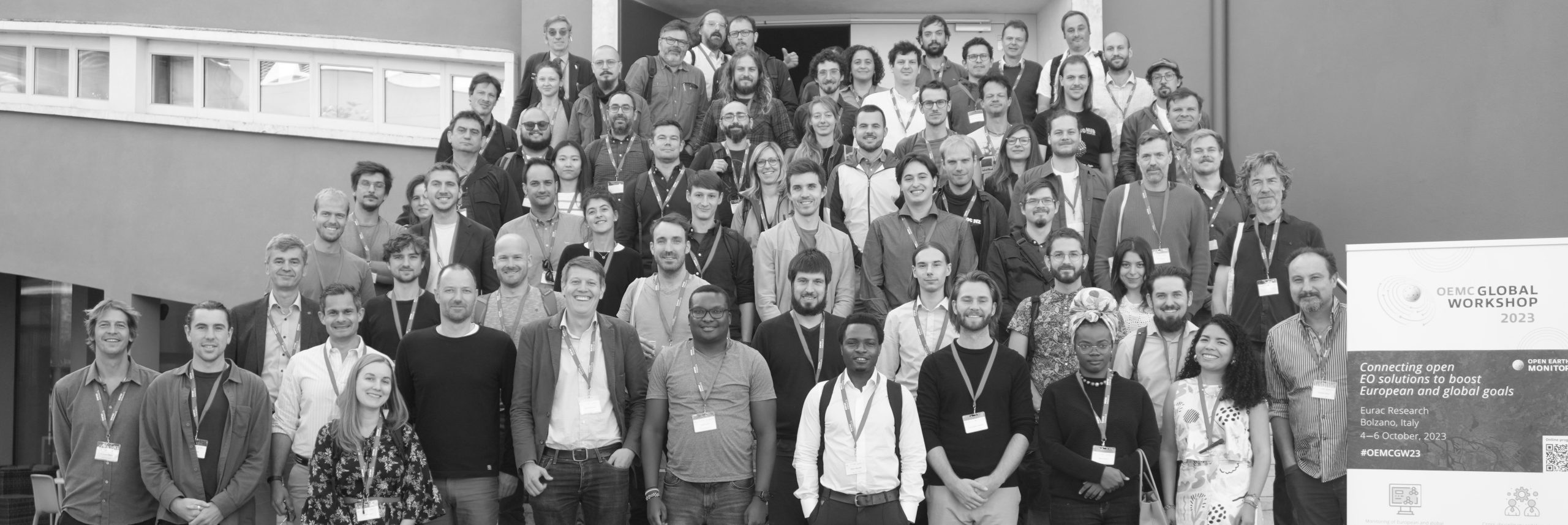


Blogposts
Newsletter
Find out what’s happening in the project!
Sign up to our quarterly newsletter and receive updates about the project’s achievements, tools development and releases, workshops, webinars, events and much more!


